What is recorded here
Lowforge in County Cavan is a substantial earthen ringfort with a thirty-one and a half metre internal diameter, enclosed by double banks and fosse cuts. Its outer wall has breaks at the south-east and west-north-west, yet the inner wall remains unbroken, denying an obvious entrance. This structural contradiction suggests the fort was designed to exclude rather than invite, forcing entry through subtle terrain or ritual knowledge rather than a visible gate.
Raised circular area (int. diam. 31.5m) enclosed by a denuded inner earthen bank, a V-shaped fosse, outside of which is a possible berm enclosed by a substantial earthen bank, and a narrow external fosse. Breaks in external bank at SSE and WNW. No corresponding breaks in inner bank to indicate causewayed entrance. (CUCAP ALQ 19; ALQ 20).
The above description is derived from the published 'Archaeological Inventory of County Cavan' (Dublin: Stationery Office, 1995). In certain instances the entries have been revised and updated in the light of recent research.
Date of upload/revision: 22 December 2008
The monument record does not grant public access. Check the route and ask the landowner before entering private land.
- What survives
- Recorded monument
Places near here
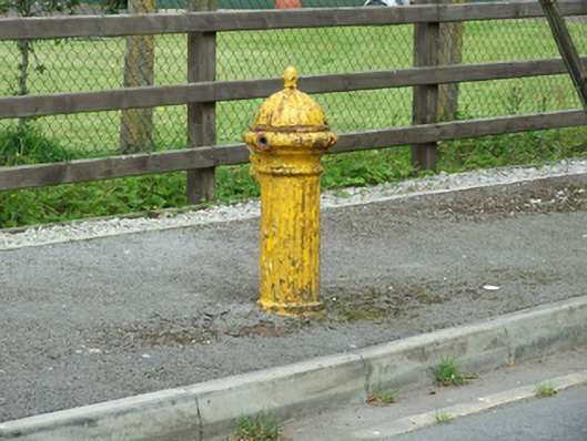 water pumpwater pump · 331 yd
 The First and Lasthouse · 339 yd
 DrumconraMountain / peak · 651 yd
 A Tribute to the BorderbustersMemorial · 1096 yd
 HawkswoodForest · 1259 yd
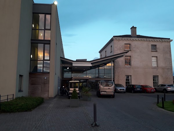 DrumbarMountain / peak · 1712 yd
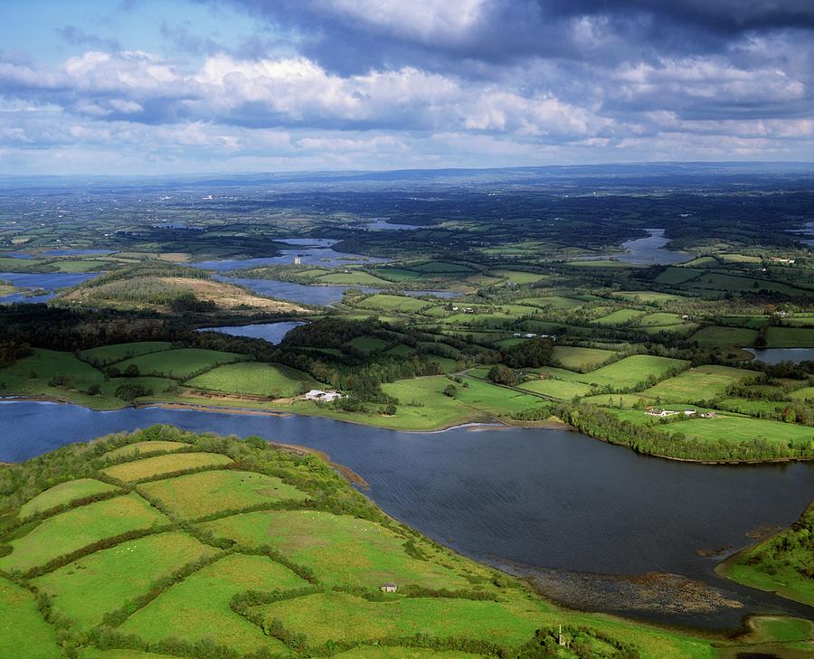 Gubnafarna Cuilcagh Anierin Uplands Special Area of ConservationWood · 1.6 mi
 ENCLOSURE in GreenanENCLOSURE · 1.7 mi
 Giant's GraveArchaeological place · 1.9 mi
 Pollnagapple Natural ArchCliff · 2.0 mi
 HOLY WELL: TOBERNAFIAN in StramattHOLY WELL: TOBERNAFIAN · 2.2 mi
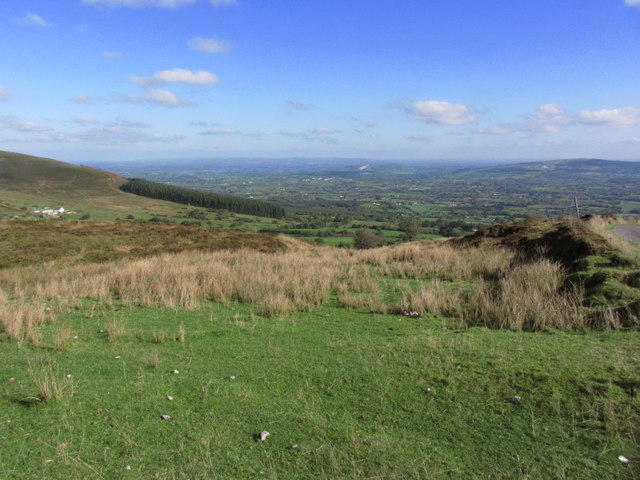 Gortalughany ViewpointViewpoint · 2.5 mi