What is recorded here
Dooneens holds a circular earthen fort twenty-four metres across, marked by a stone-faced bank and a shallow external ditch. A possible underground passage cuts through the southwest quadrant while a standing stone watches from the inner south-west, suggesting the site served more than ordinary pasture. The broken eastern entrance, partly blocked by large stones, invites imagination about who entered, what they hid beneath the grass, and why the mountain kept the shape instead of erasing it.
In undulating mountain pasture. Circular area (24.7m N-S; 23.9m E-W) defined by earthen bank (H 0.9m); external fosse (D 0.55m) SSE->NE. Bank stone-faced internally; break (Wth 2m) to ENE, partially blocked by some large stones. Possible Man-made underground passage (CO080-026---) in SW quadrant; standing stone (CO080-018002-) inside bank to SSW.
The above description is derived from the published 'Archaeological Inventory of County Cork. Volume 3: Mid Cork' (Dublin: Stationery Office, 1997). In certain instances the entries have been revised and updated in the light of recent research.
Date of upload/revision: 14 January 2009
The monument record does not grant public access. Check the route and ask the landowner before entering private land.
- What survives
- Recorded monument
Places near here
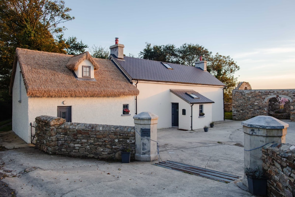 Hut site in Dooneens (muskerry West By., Inchigeelagh Par.)Hut site · 191 yd
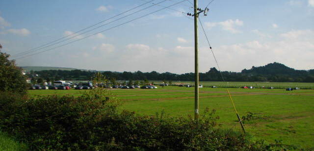 Field system in Dooneens (muskerry West By., Inchigeelagh Par.)Field system · 382 yd
 Doughill MountainMountain / peak · 1204 yd
 Douce MountainMountain / peak · 1.1 mi
 Gougane BarraValley and heritage place · 2.5 mi
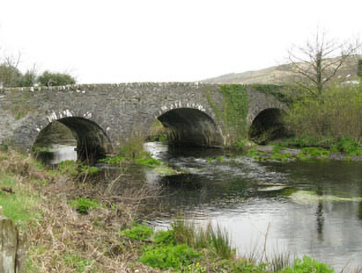 Inchinossig Bridgebridge · 2.5 mi
 Stepping StonesClapper bridge · 2.6 mi
 European ashEuropean ash · 2.6 mi
 St Finbarr's Pilgrim RouteWalking route · 4.7 mi
 Gortnahoughtee Mass RockNamed rock · 4.8 mi
 Togher CastleCastle, tower house · 5.8 mi
 Carriganass CastleCastle · 6.2 mi