What is recorded here
In pasture, on gentle E-facing slope. Monument, depicted as roughly circular embanked enclosure (diam. c. 25m) on 1923 OS 6-inch map, has been levelled. However, part of enclosing element may be incorporated into slightly curving earthen bank (int. H 1.5m; ext. H 1.55m) which form part of field boundary system; boundaries to S of enclosure have been removed. Extending into field from boundary SSE->SW is slight scarped edge (H 0.15m; Wth 1.8m) which is probably remains of enclosing element. Site was described in 1964 (OPW Top. File) as circular area (diam. c. 30m) enclosed by earthen bank (int. H 1.1m; ext. H 1.25m) with gap on E side.
Compiled by: Denis Power
Date of upload: 26 August 2011
The monument record does not grant public access. Check the route and ask the landowner before entering private land.
- What survives
- Recorded monument
Places near here
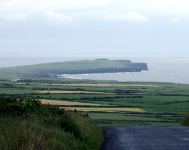 Mound in DooncahaMound · 327 yd
 Mound in Corbally (shanid By.)Mound · 481 yd
 Shanid Househouse · 1230 yd
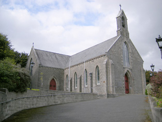 Saint Colman's Catholic Churchchurch/chapel · 1605 yd
 Shanid CastleCastle · 1731 yd
 Shanid Castle (in ruins)Castle, Anglo-Norman masonry castle · 1735 yd
 St. Luke's WellSpring · 3.2 mi
 St. Kieran's WellSpring · 4.4 mi
 Foynes Flying Boat & Maritime MuseumMuseum · 4.7 mi
 Monterey CypressMonterey Cypress · 4.8 mi
 Foynes Island ViewpointViewpoint · 4.9 mi
 Gammarel PointHeadland · 5.1 mi