What is recorded here
Fairy fort / earthen ringfort in Doonally (carbury By., Drumcliff East Ed) is a fairy fort or earthen ringfort in Doonally (carbury By., Drumcliff East Ed), County Sligo, Ireland. The slightly raised semi-circular area measures 24m NW-SE and 20m NE-SW, enclosed by a narrow earth and stone bank 3.6m wide and 0.3m high. Quarrying removed the edge from SE-SSW and SSW-NW, leaving an irregular spoil bank along the rath line. No fosse or original entrance is visible at ground level.
Situated on a slight S-facing slope, in gently undulating pasture. Slightly raised semi-circular area (dims. 24m NW-SE; 20m NE-SW) enclosed by a narrow bank of earth and stone (Wth 3.6m; int. H 0.3m). There is no fosse visible at ground level. The original earth and stone bank encloses the site NW-SE. From SE-SSW the edge of the rath has been quarried away. From SSW-NW the edge of the site has been removed also by quarrying an irregular bank of spoil has been dumped along the line of the bank of the rath. The original entrance is not recognisable.
Compiled by: Patrick F. O'Donovan
Date of upload: 21 April 2011
This remains an important historical record, but the official description says the monument is no longer visible or has been destroyed. The monument record does not grant public access. Check the route and ask the landowner before entering private land.
- What survives
- No visible remains or recorded as destroyed
Places near here
 Enclosure in Doonally (carbury By., Drumcliff East Ed)Enclosure · 238 yd
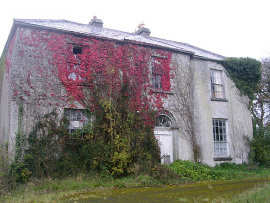 Doonally Househouse · 500 yd
 Enclosure in WillowbrookEnclosure · 750 yd
 Fort Louishouse · 1.5 mi
 European BeechEuropean Beech · 1.8 mi
 Copes MountainMountain / peak · 2.1 mi
 St. John's CathedralMemorial · 2.8 mi
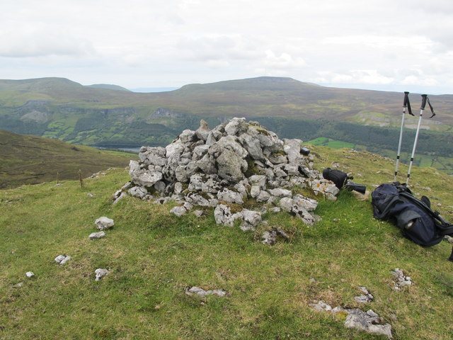 CrockaunsMountain / peak · 2.9 mi
 Annagh BayBay · 3.0 mi
 Annagh IslandIsland · 3.1 mi
 Half Moon BayBay · 3.2 mi
 HazelwoodWood · 3.3 mi