What is recorded here
Dinginavanty holds a substantial earthen ringfort with a wide, deep, partly waterlogged fosse and a possible underground passage. The southeast entrance still shows its causeway, inviting people into a space where human ingenuity met local belief. The field boundary marks the edge of a living landscape, not a dead one.
Raised circular area (int. diam. 24.6m) enclosed by a substantial earthen bank and a wide, deep, partly waterlogged fosse. The site is encircled by a modern field boundary. Break in bank with accompanying causeway at SE represents original entrance. Possible Man-made underground passage within internal area (CV022-01302-).
The above description is derived from the published 'Archaeological Inventory of County Cavan' (Dublin: Stationery Office, 1995). In certain instances the entries have been revised and updated in the light of recent research.
Date of upload/revision: 22 December 2008
The monument record does not grant public access. Check the route and ask the landowner before entering private land.
- What survives
- Recorded monument
Places near here
 Graveyard in Drumgoon (clankee By.)Graveyard · 701 yd
 Drumgoon Bridgebridge · 934 yd
 IndicatedFairy fort / earthen ringfort · 958 yd
 Scarvy Bridgebridge · 1611 yd
 Cornanurney ForestForest · 1.3 mi
 CornanurneyMountain / peak · 1.6 mi
 CastleCastle, unclassified · 1.9 mi
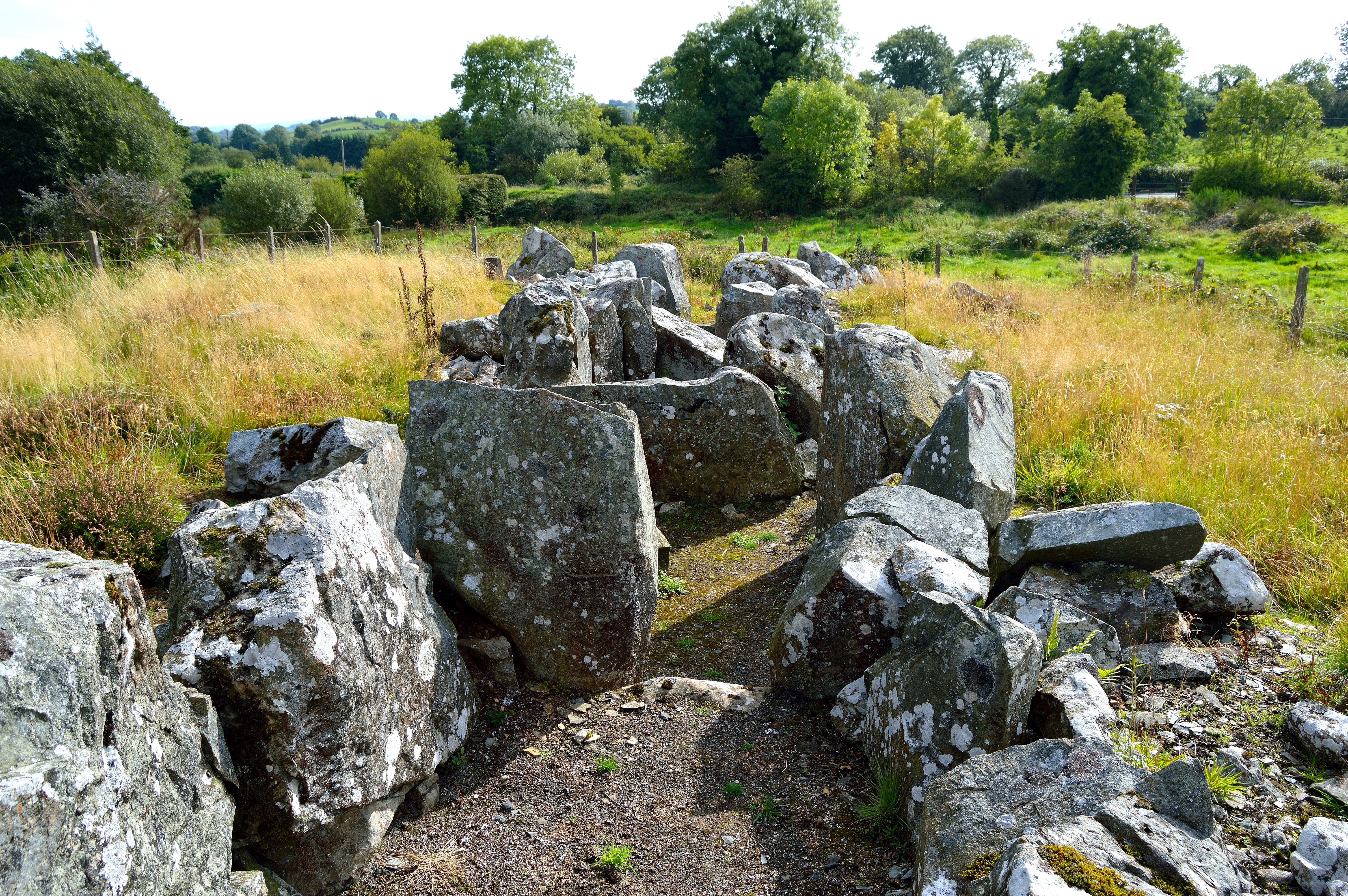 Giant GraveCourt tomb · 2.1 mi
 Giants GraveArchaeological place · 2.1 mi
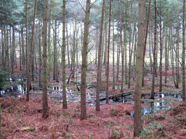 Lisdoagh Wet WoodlandWood · 2.4 mi
 AghagashlanMountain / peak · 2.9 mi
 Site of Old CastleCastle, unclassified · 3.5 mi