What is recorded here
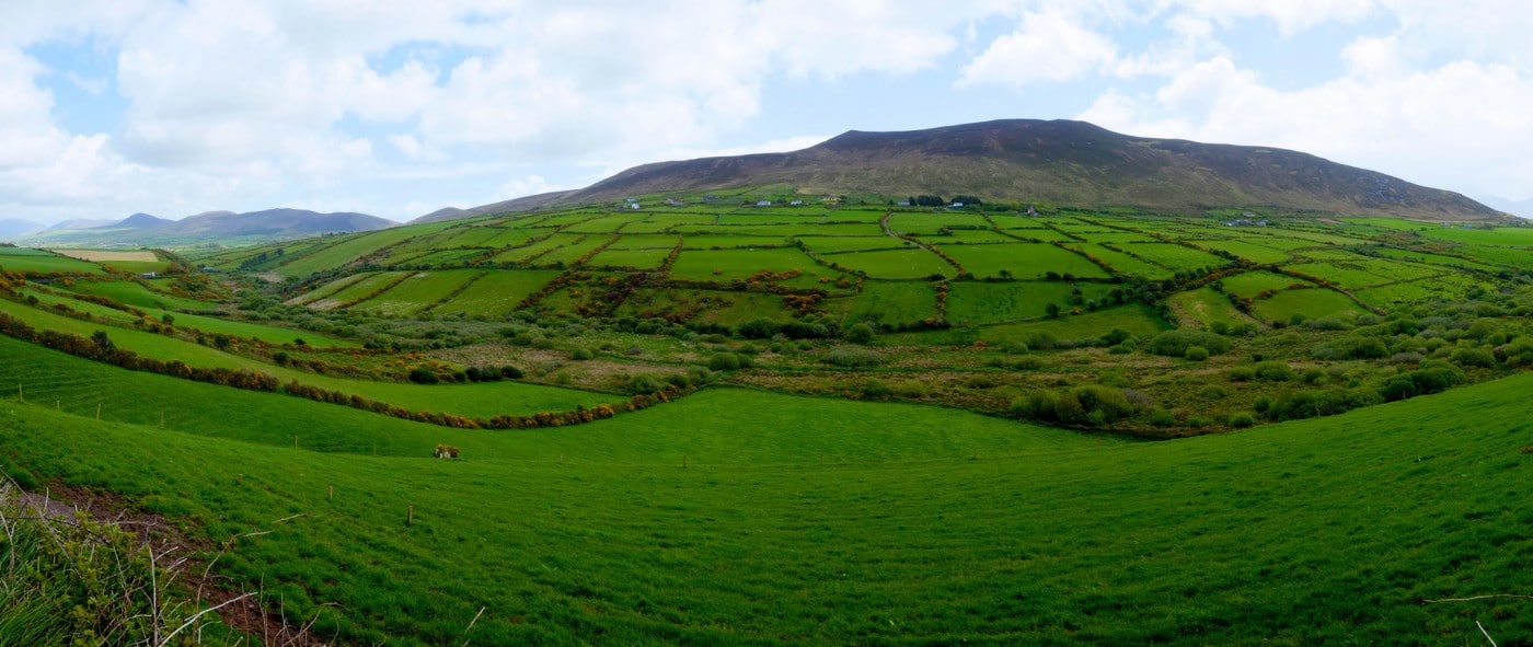
Two earthen rings touch within centimetres on a sunny Kerry slope, forming one rare double chamber rather than separate homes. The southern fort faces south through a western gap, while drystone fragments still cling to its inner bank like forgotten jewelry. People may have lived beside or within the paired curve, watching the sea and fields from a small stronghold that ordinary sense calls a fairy fort because its shape defers to human expectation.
Internal diam. 22m N-S, 22m E-W
This is the southernmost of a pair of subcircular univallate raths which are located within 2.6m of each other on a very gentle S facing slope with extensive views in all directions. Lismore (KE044-059----) lies less than 100m to E. The bank averages 1.5m in height externally and c. 1m in height internally. Short sections of drystone facing are visible on its inner flank at 3 points, and it is possible that this was not much more extensive originally. It is nowhere more than .45m high. Short sections of drystone masonry are also present on the outer face of the bank at E and on the S side of the entrance. The gaps at NNE and S appear to be secondary features. A 2.5m wide gap at W is probably the original entrance. A low mound of earth and stone now lies in the centre of this gap.
The interior is occupied by a number of low stony mounds which have previously been interpreted as the remains of 5 houses (KAS). However, only the 2 northernmost mounds and the mound at SE can reasonably be interpreted as such. The former were apparently conjoined (KAS). The E hut measures 3.6m x 3m internally. The low mound in the SE part of the ringfort interior may have formed the W wall of a house which abutted the ringfort bank.
The above description is derived from J. Cuppage, ‘Corca Dhuibhne. Dingle Peninsula archaeological survey. Ballyferriter. Oidhreacht Chorca Dhuibhne’ (1986), no. 380. In certain instances the entries have been revised and updated in the light of recent research.
Date of upload: 6 August 2013
The monument record does not grant public access. Check the route and ask the landowner before entering private land.
- What survives
- Recorded monument
Places near here
 Hut site in DerrygormanHut site · 8 yd
 Church in AnnagapChurch · 660 yd
 Man-made underground passage in CoumduffMan-made underground passage · 781 yd
 Brackloon Lodgehotel · 1228 yd
 Statue of Our LadyHeritage attraction · 1502 yd
 Jerome ConnorMemorial · 1524 yd
 Graveyard in BallynacourtyGraveyard · 1754 yd
 Bunaneer StrandBeach / strand · 1.8 mi
 BrickanyMountain / peak · 2.3 mi
 Knockmulanane West TopMountain / peak · 2.5 mi
 Glanteenassig Forest ParkForest · 2.9 mi
 Acres PointHeadland · 3.3 mi