What is recorded here
Represented on the OS 1st ed. 6-inch map as a complete pear-shaped enclosure with the narrow end pointing to the E and partly truncated on its W side by a field boundary. The estimate original dimensions are c. 43m E-W by c. 37m N-S. That larger portion of the monument (i.e. to the SE of the field boundary) is represented as a series of single hachures, indicating a raised area, on the OS 25-inch plan (surveyed 1910-13); the W component is not indicated. An inspection in 1990 recorded the monument as consisting of a sub-circular area bounded by a low earthen bank set on a low scarp: there was no evidence of a fosse. The section of the monument to the NW, beyond the boundary, had been removed. The interior of the surviving SE portion was uneven and part of the SW and W areas appeared to have been the subject of quarrying activities in the past. A Man-made underground passage (WM018-011001-) was discovered in the NW portion of the monument in 1990. Monument registered as a Historic Monument in 1990.
Compiled by: Paul Walsh
Date of upload: 11 November 2013
The monument record does not grant public access. Check the route and ask the landowner before entering private land.
- What survives
- Recorded monument
Places near here
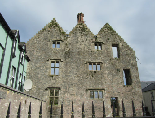 Man-made underground passage in DavidstownMan-made underground passage · 7 yd
 OutlinedEnclosure · 841 yd
 Site of CastleCastle, unclassified · 1427 yd
 Simonstown Castle (in Ruins)Castle, unclassified · 1483 yd
 Penitential station in Laragh (moygoish By.)Penitential station · 1498 yd
 32nd Lock Keeper's HouseRuins · 1627 yd
 Ancient Ring FortWood · 1.4 mi
 Baronstown ForestWood · 3.4 mi
 Carrickphilbin IslandIslet · 4.8 mi
 Craft WorkshopHeritage attraction · 7.6 mi
 Guest ServicesVisitor information · 7.6 mi
 Goldsmith Birthplace, PallasVisitor information · 7.7 mi