What is recorded here
Dartfield’s fairy fort is a worn oval rath sixty metres wide on a slight rise above low pastureland. Its earth bank still curves around a ghost house and a small stony mound, while a hidden passage cuts through the eastern soil. People may have lived there before forgetting the name, but the shape remains large enough to walk inside and small enough to keep its secrets.
On a slight rise in low-lying pastureland. Poorly preserved oval rath (c. 60m E-W; c. 50m N-S) defined by a bank outside of which runs a berm-like feature from WNW through N to ENE. There is a possible house site (GA106-060002-) in the N sector of the interior and to its W a low circular grassed-covered stony mound (diam. 4m); it may be associated. A Man-made underground passage (GA106-060001-) lies in ENE sector.
Compiled by: Galway Archaeological Survey, UCG
Date of upload: 8 December 2017
The monument record does not grant public access. Check the route and ask the landowner before entering private land.
- What survives
- Recorded monument
Places near here
 Dartfield Horse MuseumHeritage attraction · 1060 yd
 Old ChapelChurch · 1151 yd
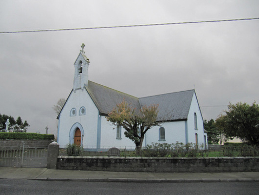 Catholic Church of Our Lady of Lourdeschurch/chapel · 1167 yd
 Drought Castle (in Ruins)Castle, tower house · 1514 yd
 TobermacduaghHoly well · 1.0 mi
 Field system in BallynahistilField system · 1.2 mi
 Kilcooly Castle (in ruins)Castle, tower house · 1.7 mi
 Turoe StoneHeritage attraction · 4.6 mi
 Bush IslandIslet · 4.8 mi
 Middle IslandIslet · 4.8 mi
 Long PointHeadland · 4.9 mi
 Quarryhill WoodWood · 7.1 mi