What is recorded here
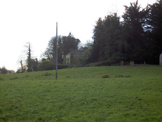
Fairy fort in Currymount, County Cork: a steep-sided earthen ring, 32m across, with two entrance gaps and a stone-backed path across the ditch. People may have lived there, resisted there, or abandoned it when the slope became too much trouble; the earth keeps the shape regardless.
In pasture, on steep SE-facing slope. Circular area (32m N-S; 29.3m E-W) enclosed by scarp (H c. 2m) NNE->SW; earthen bank (int. H 1.8m) SW->NW, with external fosse (D 1.05m); worn earthen bank NW->N with shallow external fosse. Break in bank to N (Wth 3.9m) and SW (Wth 3.1m). To N, outside break in bank, path across fosse raised on E side, and faced with stone, to compensate for hillslope. Interior slopes down steeply to SE; farm trackway joins both entrances; surface uneven due to fallen branches and dumped field clearance stones. Locally known as fort.
The above description is derived from the published 'Archaeological Inventory of County Cork. Volume 4: North Cork' (Dublin: Stationery Office, 2000). In certain instances the entries have been revised and updated in the light of recent research.
Date of upload/revision: 14 January 2009
The monument record does not grant public access. Check the route and ask the landowner before entering private land.
- What survives
- Recorded monument
Places near here
 CarrigadoonCastle, unclassified · 268 yd
 Curraghmount Housecountry house · 409 yd
 Paircín Na CilleBurial ground · 745 yd
 St Bridgets WellHoly well · 770 yd
 Churchtown TrailsVisitor information · 1021 yd
 Tullig Housecountry house · 1037 yd
 Templeconnell Castle (in Ruins)Castle, tower house · 1.4 mi
 Lady's WellSpring · 1.4 mi
 Buttevant Rail DisasterMemorial · 2.1 mi
 David HurleyMemorial · 2.7 mi
 SycamoreSycamore · 2.7 mi
 Battle of LiscarrollMajor battlefield · 3.3 mi