What is recorded here
Situated on a slight rise, in gently undulating pasture, overlooking a pond to E, good views to E, S and N. Depicted on the revised 1913 ed. OS 6-inch map as a circular shaped earthwork. Monument described in 1970 as a subcircular-shaped area (diam. 23.5m NNW-SSE; 22.5m ENE-WSW) enclosed by an earthen bank (basal Wth 3.6m; Wth at top 0.8m). with no visible trace of a fosse. A gap (int. H 0.4m; ext. H 1.35m; Wth at top 3.2m; basal Wth 1.8m) at NE may indicate an entrance. The interior has a gentle NW-facing slope and has traces of cultivation ridges. Monument is visible on Digital Globe aerial photography as a circular-shaped tree-lined earthwork.
See attached profile of monument surveyed and drawn by the ASI.
Compiled by: Alison McQueen, Vera Rahilly and Caimin O’Brien
Date of upload: 04 June 2019
This remains an important historical record, but the official description says the monument is no longer visible or has been destroyed. The monument record does not grant public access. Check the route and ask the landowner before entering private land.
- What survives
- No visible remains or recorded as destroyed
Places near here
 Partially hachuredFairy fort / earthen ringfort · 683 yd
 Partially indicatedFairy fort / earthen ringfort · 1242 yd
 Church (in Ruins)Church · 1478 yd
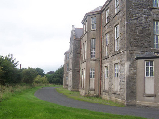 hospital/infirmaryhospital/infirmary · 1562 yd
 Site of CastleCastle, unclassified · 1573 yd
 Boardstown Castle (in Ruins)Castle, tower house · 1.7 mi
 Augustinian Monks Memorial StatueMemorial · 1.7 mi
 The Chimera GalleryGallery · 2.0 mi
 Famine MemorialMemorial · 2.0 mi
 Saint Brigid's WellSpring · 2.7 mi
 Long PlantingForest · 3.0 mi
 Lady's IslandWood · 3.8 mi