What is recorded here
Cunnagher South holds a broken ring where a field swallowed the missing arc. The earthen bank still curves twenty-four metres across the ridge terrace, proud enough at the outer edge to mark the lost boundary. Later walls struck the curve into angles, but the interior remained level and empty, waiting for the shape someone stopped seeing.
On a level terrace on the gentle SE slope of a pasture ridge. Reported as a “stone wall circular enclosure” (SMR file). A poorly preserved, roughly C-shaped area (diam. 24m E-W) is defined by a broad low earthen bank (av. Wth 3m; int. H 0.3-0.6m; ext. H 0.7-1m) from SW-N-SSE. There is no surface trace of an enclosing element between SSE and SW resulting in the site being incorporated into a small field to its S. Later field walls at NW and NE give the enclosing bank a straight-sided appearance. The level interior is featureless.
Compiled by: Gearóid Conroy and Leo Morahan
Date of upload: 30-10-2025
The monument record does not grant public access. Check the route and ask the landowner before entering private land.
- What survives
- Recorded monument
Places near here
 Church in Cunnagher SouthChurch · 522 yd
 Ritual siteRitual site, holy/saint's stone · 1042 yd
 IndicatedFairy fort / ringfort · 1584 yd
 Park Bridgebridge · 1.9 mi
 Castle in RuinsCastle, unclassified · 2.1 mi
 CastleCastle, unclassified · 2.7 mi
 National Museum of Ireland, Country LifeMuseum · 2.7 mi
 Sunken GardenWood · 2.8 mi
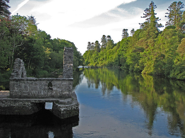 River WoodWood · 2.9 mi
 FarbreigaMountain / peak · 3.3 mi
 Michael DavittMemorial · 4.0 mi
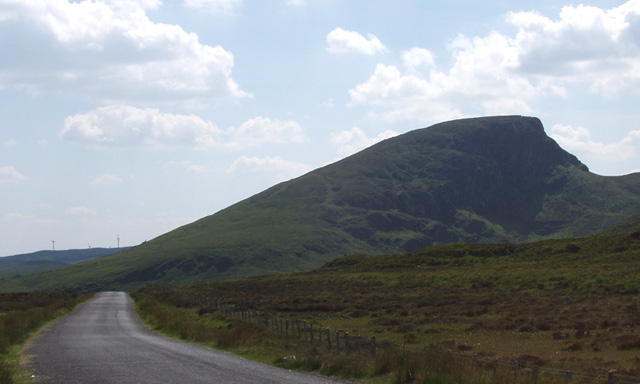 BurrenMountain / peak · 4.3 mi