What is recorded here
Cuilmore holds a D-shaped earthen ringfort where a railway now passes twenty metres north, proving human ambition still intrudes on old borders. The western scarp rises nearly three metres against the natural slope, while the eastern edge has been quarried into a grassed depression, likely robbing the fort to build elsewhere. Nettles still mark the faded fosse, and cattle graze the level interior where cultivation ridges once cut through the soil. The fort does not pretend to be a fairy tale; it is a damaged human making, exposed and altered, yet still standing on its rise above the stream.
In pasture, located on a NE–SW undulation with ground falling for c. 10-15m to W to the banks of a stream. There are good views to N–E, with tracts of bog visible to NE; rising undulating ground restricts views to S and SW. There is a railway track c. 20m to N.
Roughly oval or D-shaped platform (34.4m NE–SW; 25m NW–SE) defined by a scarp and enclosed by an external fosse.
The scarp (ext. H 1.25m at S, 1.8m at NNE) is most pronounced (ext. H 2.9m) at W–NW where it appears almost linear and coincides with the high, steep natural slope. A section (L c. 14m) of the scarp and a portion of the SE quadrant of the interior have been quarried out at SE, evident now as a grassed over depression. The fosse (Wth 3-3.5m) is well defined only at N where it cuts the spine of the rise on which the rath is located; elsewhere it is apparent only as a slight depression, marked by nettles and weeds.
The interior is level, with a slight slump in the NE quadrant. The surface exhibits ephemeral traces of cultivation ridges on NNE–SSW axis.
Grass and thistle cover, with hawthorn bushes on the scarp. Several animal burrows are evident in the scarp.
Compiled by: Jane O’Shaughnessy
Date of upload: 27 September 2022
The monument record does not grant public access. Check the route and ask the landowner before entering private land.
- What survives
- Recorded monument
Places near here
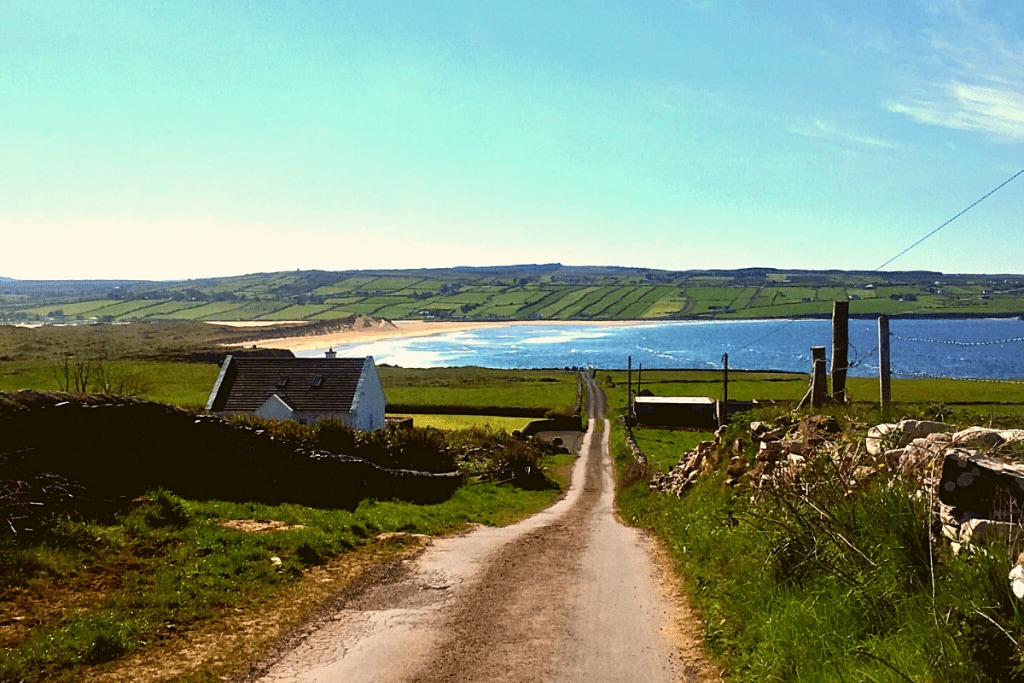 IndicatedFairy fort / earthen ringfort · 625 yd
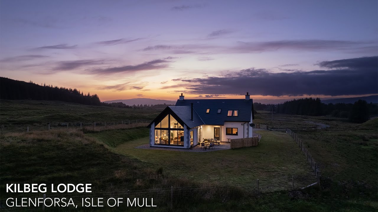 Enclosure in Kilbeg (malone)Enclosure · 1.4 mi
 Ballinsmaula Abbey (in Ruins)Religious house, Carmelite friars · 1.8 mi
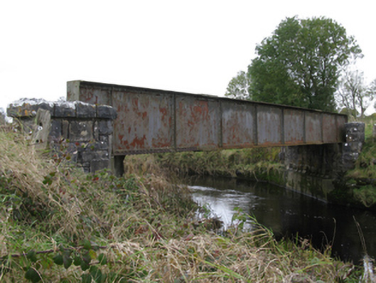 bridgebridge · 2.0 mi
 CastleCastle, unclassified · 2.5 mi
 Castlekeel (in ruins)Castle, unclassified · 2.6 mi
 Land of the GiantsHeritage attraction · 2.8 mi
 Oak WoodForest · 2.9 mi
 Geoffrey's WoodForest · 3.6 mi
 Knock MuseumMuseum · 4.8 mi
 Mass RockNamed rock · 13 mi
 Enclosure in ClareEnclosure · 1.8 mi