What is recorded here
Internal diam. 30m N-S, 35m E-W
Lisnageeha / Lios na Gaoithe: This rath is located at the W side of the landward end of Cromane Spit, an elongated promontory which juts into Dingle Bay. A single earthen bank encloses a roughly circular and densely overgrown area. The bank reaches a maximum height of 2m and measures 3m in maximum width. Within the enclosure at NW is a standing stone of tapered elevation; it measures 1.8m high, .9m wide and .7m thick at base; E-W. A second standing stone previously stood nearby outside the site (local information).
The above description is derived from A. O'Sullivan and J. Sheehan (compilers), 'The Iveragh peninsula: an archaeological survey of South Kerry'. Cork University Press (1996), no. 498. In certain instances the entries have been revised and updated in the light of recent research.
Date of upload: 28 July 2013
The monument record does not grant public access. Check the route and ask the landowner before entering private land.
- What survives
- Recorded monument
Places near here
 Cromane BeachBeach / strand · 1346 yd
 Lough Yganavan Nature ReserveNature reserve · 1464 yd
 Lough Nambrackdarrig Nature ReserveNature reserve · 1.4 mi
 Kerry Bog VillageHeritage attraction · 2.2 mi
 Caragh Bridgebridge · 2.3 mi
 Cromane PointHeadland · 2.6 mi
 Inch BeachBeach / strand · 2.6 mi
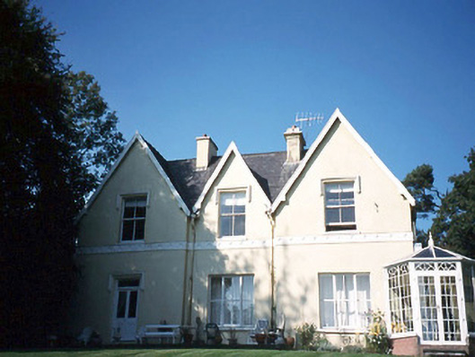 Glendalough Househouse · 2.8 mi
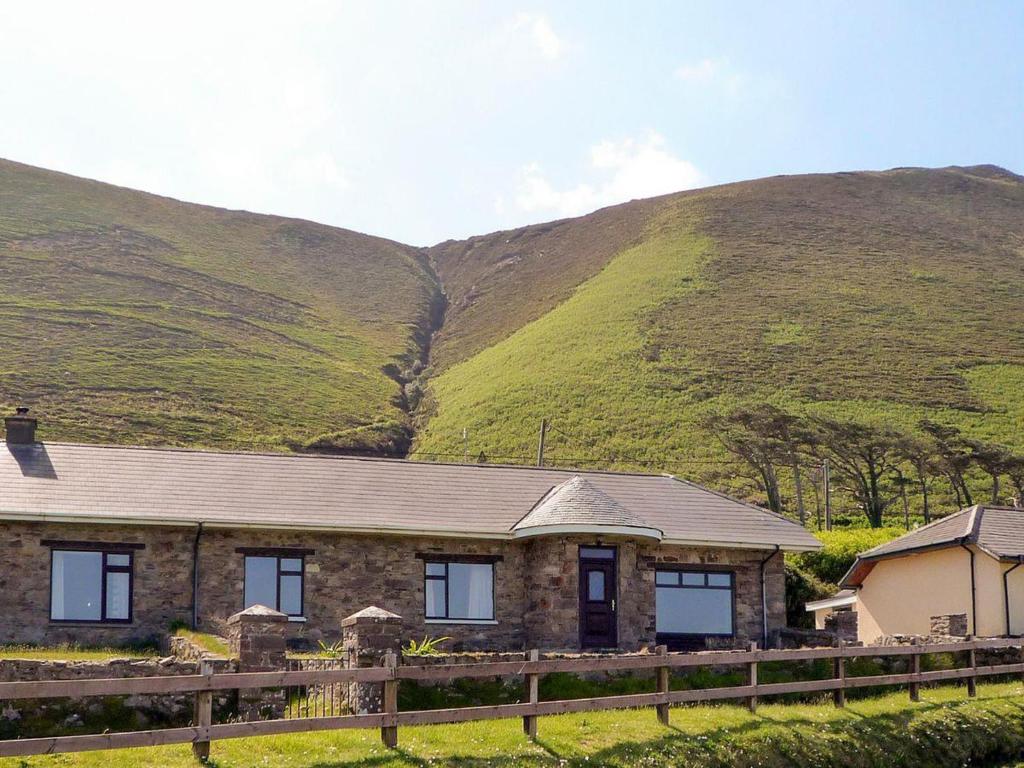 Rossbeigh TowerMonument · 3.3 mi
 IndicatedFairy fort / earthen ringfort · 3.4 mi
 SeefinMountain / peak · 3.8 mi
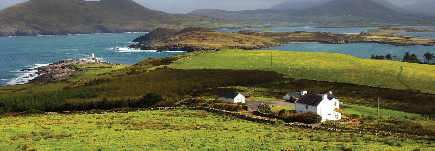 LaghtsheeMountain / peak · 4.4 mi