What is recorded here
Thirty-eight metres of forgotten boundary still circles Cornahoova, marked by an earthen bank and outer fosse on a NW-facing rise. A road cuts through the southern centre, yet the rath perimeter survives beyond it as a scarp, proving the circle resisted ordinary development. People may have lived, hidden or worshipped inside that lost ring before the land swallowed the entrance and memory.
Situated on a rise towards the top of NW-facing slope. This is an overgrown circular area (diam. 38m NE-SW; 38m NW-SE) defined by an overgrown earthen bank (at NW: Wth of base 8.5m; int. H 0.9m; ext. H 2.6m) and an outer rounded fosse (at NW: Wth of top 7m; ext. D 0.5m) SW-N-NE. The monument is overlain by a NE-SW road just S of centre but the perimeter of the rath survives beyond it E-S as a scarp. The original entrance is not identified. Archaeological testing (06E0168) by P. D. Sweetman immediately to the E on the S side of the road produced no related material (excavations.ie 2006:220).
The above description is derived from the published 'Archaeological Inventory of County Meath' (Dublin: Stationery Office, 1987). In certain instances the entries have been revised and updated in the light of recent research.
Compiled by: Michael Moore
Date of revision: 31 August 2018
Amended: 18 February 2021
The monument record does not grant public access. Check the route and ask the landowner before entering private land.
- What survives
- Recorded monument
Places near here
 ToberarneyHoly well · 985 yd
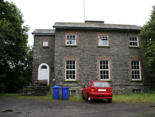 rectory/glebe/vicarage/curate's houserectory/glebe/vicarage/curate's house · 1286 yd
 Cross in EnniskeenCross · 1348 yd
 Kingscourt Railway Stationrailway station · 1677 yd
 BarleyhillMountain / peak · 1.3 mi
 The CurraghWood · 1.5 mi
 CabraMountain / peak · 1.6 mi
 Dún a Rí Forest ParkForest · 1.8 mi
 In Memory of Our DadMemorial · 1.9 mi
 Natural Play AreaMemorial · 1.9 mi
 Castle ruinsCastle, unclassified · 2.0 mi
 Cloghreagh Castle in RuinsCastle, unclassified · 2.6 mi