What is recorded here
In rough pasture, on a N-facing slope at the foot of the Ox Mountains. A raised oval area (23m N-S; 30m E-W) defined by a c. 20m long stretch of earth and stone bank (Wth 1.5m; int. H 0.4m; ext. H 0.75m) along the W arc and by a scarp (H 0.3m) elsewhere. Linear field boundaries indicated on the 1913 OS 6-inch map abutting the bank at E and S have been removed.
The above description is derived from the published 'Archaeological Inventory of County Sligo' compiled by Ursula Egan, Elizabeth Byrne, Mary Sleeman with Sheila Ronan and Connie Murphy (Dublin Stationery Office, 2005).
Date of upload: 18 January 2008
The monument record does not grant public access. Check the route and ask the landowner before entering private land.
- What survives
- Recorded monument
Places near here
 Saint Brigid's Catholic Churchchurch/chapel · 1065 yd
 SlievewardMountain / peak · 1075 yd
 BunreecoillMountain / peak · 1147 yd
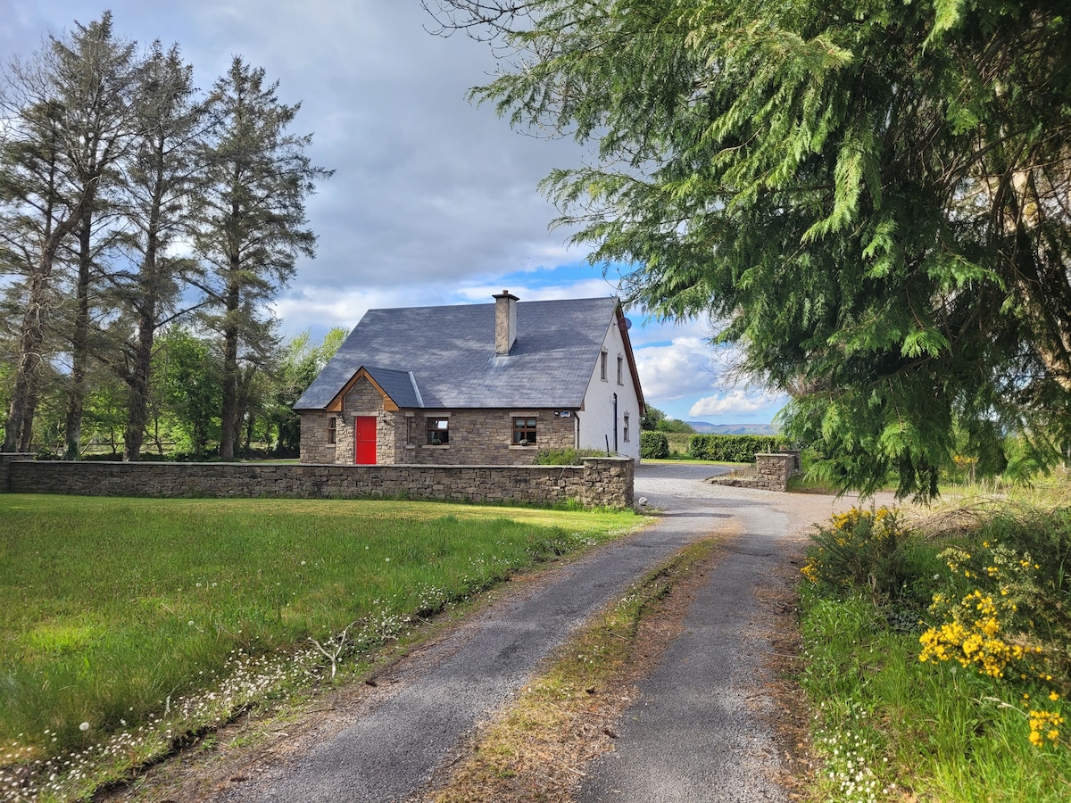 Hut site in AbbeytownHut site · 1210 yd
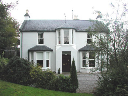 Arrow Lodgerectory/glebe/vicarage/curate's house · 1254 yd
 Enclosure in Largan (leyny By., Ballysadare East Ed)Enclosure · 1309 yd
 CastleCastle, unclassified · 1501 yd
 Battle of Collooneybattle · 1.4 mi
 Teeling MonumentMemorial · 1.4 mi
 Union RockForest · 1.8 mi
 CarrigeenfaddaIslet · 2.3 mi
 RinnatalleenHeadland · 2.4 mi