What is recorded here
Situated in level pasture. Ringfort (WM031-088----) lies c. 75m to N. Depicted on the 1837 ed. OS 6-inch map as a circular-shaped earthwork. Depicted on the 1913 ed. OS 25-inch map as a roughly oval-shaped earthwork. Monument described in 1983 as a roughly rectangular-shaped area (dims 28m N-S; 25m E-W) enclosed by an earthen bank (int. H 1m; ext. H 1m; Wth c. 1m) which is quite substantial, particularly to S, W and N. The bank has been completely removed at the NE corner and for c. 10m along the N end of the E side. The bank is poorly preserved along the remainder of the E side. There are no clear indications of an external fosse however a line of nettles outside the bank along the S, W N and parts of the E side may suggest an infilled fosse. There is no obvious entrance, although a modern gap is cut through the centre of the N side. The interior of the site is obscured by dense vegetation, however there appears to be a roughly rectangular-shaped slightly raised area in the centre. There are no visible wall foundations or other indications of a house site indicating that this may be a natural feature. The E and W banks are straight and parallel to one another and the N and S banks have a slight curvature. The inside of the SE, SW and NW corners are clearly curved. Monument is visible today as a long subrectilinear-shaped earthwork on Digital Globe aerial photography.
Compiled by Alison McQueen, Vera Rahilly and Caimin O’Brien.
Date of upload: 22 November 2019
The monument record does not grant public access. Check the route and ask the landowner before entering private land.
- What survives
- Recorded monument
Places near here
 Partially hachuredFairy fort / earthen ringfort · 754 yd
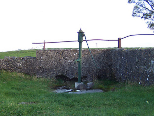 water pumpwater pump · 924 yd
 bridgebridge · 1035 yd
 Syonan CastleCastle · 1095 yd
 Hut site in CloghanaskawHut site · 1311 yd
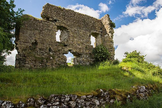 Laragh CastleCastle · 1.4 mi
 Kilmalady HillMountain / peak · 3.2 mi
 Japanese pagoda treeJapanese pagoda tree · 3.3 mi
 ToberaskeenSpring · 5.3 mi
 Roughan HillMountain / peak · 5.4 mi
 Charles BianconiMemorial · 6.4 mi
 The Bob Traynor GalleryGallery · 6.5 mi