What is recorded here
Situated on a NE-facing slope overlooking a NNW-SSE section of the Fane River, which is c. 100m to the E. This rath is depicted as an earthwork on McCrea’s map of County Monaghan (1793) and as a circular embanked enclosure (ext. diam. c. 40m) on the 1834 edition of the OS 6-inch map. It had been reduced to an arc of hachures NW-NE on the 1907 edition, by which time a NW-SE section of the Great Northern Railway line, now abandoned, had been constructed immediately to the NE. An arc (Chord c. 40m) of an overgrown earthen bank (Wth c. 3m; H c. 1.5-2m) and fosse (Wth of top c. 5m; Wth of base c. 2m; D c. 1m) survives W-NE, although obscured with spoil.
The above description is derived from the published 'Archaeological Inventory of County Monaghan' (Dublin: Stationery Office, 1986). In certain instances the entries have been revised and updated in the light of recent research.
Date of revision: 6 December 2017
The monument record does not grant public access. Check the route and ask the landowner before entering private land.
- What survives
- Recorded monument
Places near here
 Culloville Bridgebridge · 269 yd
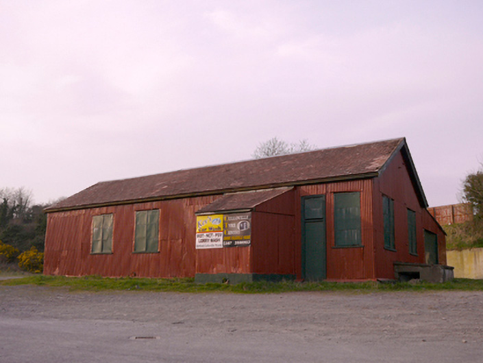 hallhall · 301 yd
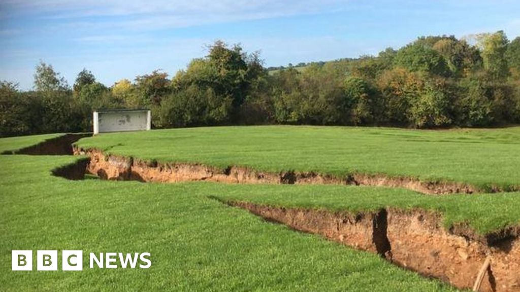 Man-made underground passage in CorcullioncrewMan-made underground passage · 694 yd
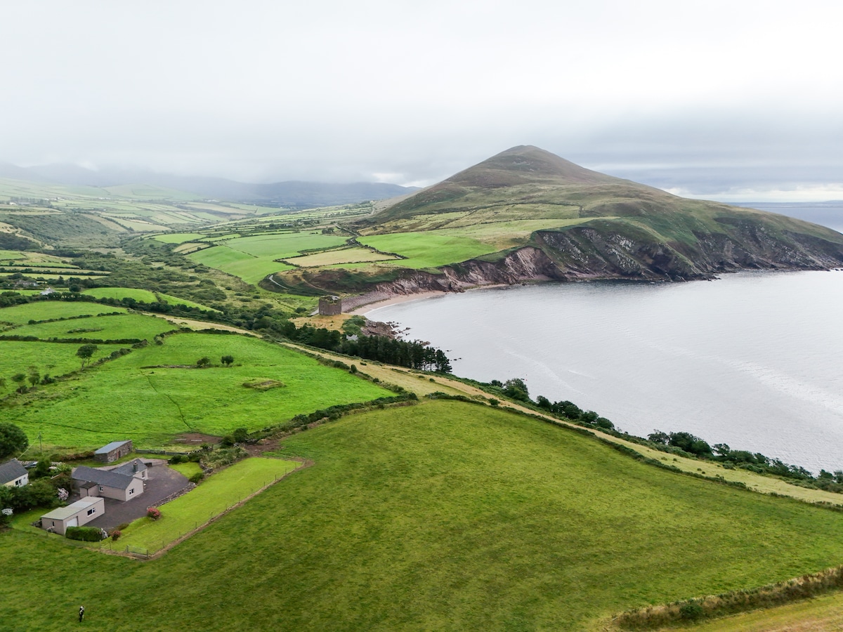 IndicatedFairy fort / earthen ringfort · 1101 yd
 KnockreaghMountain / peak · 1.3 mi
 Battle of Newry Roadbattle · 3.1 mi
 The Black Castle Chambered GraveArchaeological place · 3.5 mi
 MEDIEVAL & POST-MED. CHURCH & GRAVEYARD in Creggan Bane GlebeMEDIEVAL & POST-MED. CHURCH & GRAVEYARD · 3.6 mi
 Whites IslandIslet · 3.6 mi
 Mannan Castle (in ruins)Castle, Anglo-Norman masonry castle · 3.7 mi
 TobernagalliaghSpring · 3.9 mi
 Fincarn HillMountain / peak · 4.0 mi