What is recorded here
On a rise in low-lying pasture. Depicted as a subcircular enclosure with the designation 'Fort' on the 1837 ed. of the OS 6-inch map. Named 'Site of' on the 1887 revised ed. A report in 1975 (SMR file) described the rath as a slightly raised subcircular area (c. 32m N-S; c. 26m E-W) defined by a low scarp with a shallow external fosse. The original entrance was not recognisable. It has since been levelled and its location is marked by a circular, low mound of earth and stone (diam. 29.7m; max. H 0.55m).
Compiled by: Patrick F. O'Donovan
Date of upload: 30 November 2011
The monument record does not grant public access. Check the route and ask the landowner before entering private land.
- What survives
- Recorded monument
Places near here
 KilnKiln, lime · 1064 yd
 Enclosure in CloonahardEnclosure · 1224 yd
 Man-made underground passage in CloonahardMan-made underground passage · 1310 yd
 Bawn in LissardowlanBawn · 1446 yd
 CastleCastle, Anglo-Norman masonry castle · 1455 yd
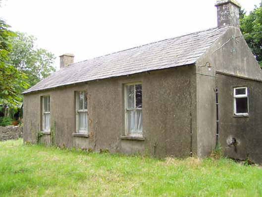 Corboy National Schoolschool · 1695 yd
 Oldtown DemesneForest · 1.6 mi
 Oldtown CopseWood · 1.7 mi
 Saint Mel's CathedralCathedral · 4.1 mi
 First World War MemorialMemorial · 4.2 mi
 Bully's Acregraveyard/cemetery, unknown · 4.4 mi
 National Famine WayWalking route · 4.9 mi