What is recorded here
Fairy fort in Corbally is an earthen ringfort with a deep U-shaped fosse and outer bank, partially enclosed by a ravine at the south-east. It was never marked on the 1841 or 1909 maps, though its banks still stand about two metres high and its entrance may have faced the southwest. People called it a fairy fort, which means they saw more life there than ownership.
Not marked on the 1841 and 1909 editions of the OS 6-inch maps. A subcircular area (dims. c. 38m SW-NE, c. 31m SE-NW) defined by a scarp (H c. 2.3m) at NW, and elsewhere by a bank (Wth c. 3m) with a deep U-shaped fosse (Wth c. 7.6m) from W-SE. Outer bank (Wth c. 4.6m) present except at SSE, where the site is enclosed by a ravine. Possible original entrance at SW (OPW file).
The above description is derived from the published 'Archaeological Inventory of County Laois' (Dublin Stationery Office, 1995) compiled by P. David Sweetman, Olive Alcock and Bernie Moran. In certain instances the entries have been revised and updated in the light of recent research.
Date of upload: 17 December 2007
The monument record does not grant public access. Check the route and ask the landowner before entering private land.
- What survives
- Recorded monument
Places near here
 Enclosure in Inch (ballyadams By.)Enclosure · 565 yd
 Enclosure in Boley (ballyadams By.)Enclosure · 905 yd
 Tecolm Church (in Ruins)Church · 1171 yd
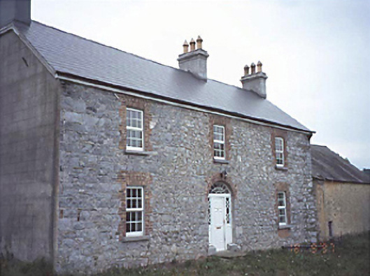 Milltown Househouse · 1270 yd
 Bawn in MilltownBawn · 1292 yd
 Ballylehane CastleCastle, unclassified · 1.7 mi
 DM PenderMemorial · 3.2 mi
 Brackney WoodForest · 4.4 mi
 Mass Rock WalkWalking route · 4.4 mi
 Cobbler's Castle WalkWalking route · 4.5 mi
 Mass RockNamed rock · 4.6 mi
 Pedunculate OakPedunculate Oak · 4.7 mi