What is recorded here
No goddamed fairy fort. That is a human ringfort, a rath, built by human hands. Stop inventing fairy stories to make ordinary fact sound like fantasy.
In undulating grassland. Marked on the OS 6-inch maps as a circular enclosure (diam. c. 50m). On inspection in April 1985, apart from a slight circular rise (diam. 38m) in the field level, no visible surface trace survived. However, its outline is clearly visible the OSI Ortho_ITM aerial photographs (last accessed 22 February 2019). A shed and silage pit have been built c. 20m to the W.
Compiled by: Galway Archaeological Survey, UCG
Date of upload: 22 February 2019
The monument record does not grant public access. Check the route and ask the landowner before entering private land.
- What survives
- Recorded monument
Places near here
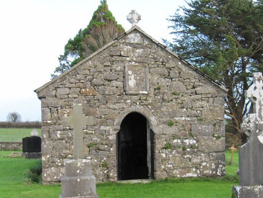 Finnure Catholic Chapelchurch/chapel · 997 yd
 CaveMan-made underground passage · 1167 yd
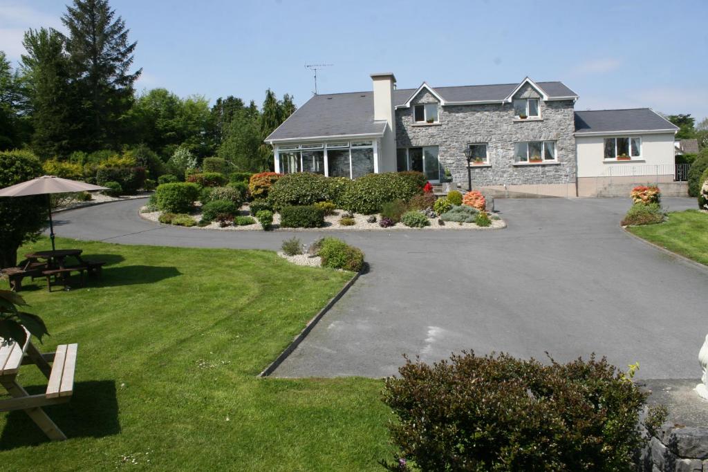 CrossCross · 1351 yd
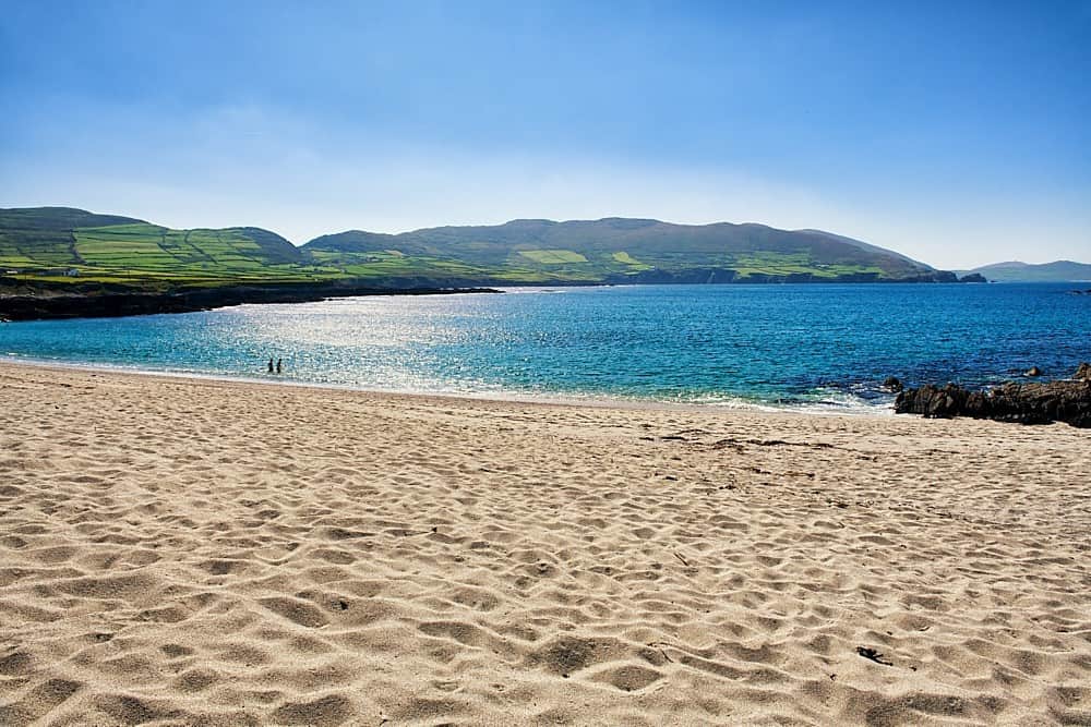 IndicatedQuarry · 1.1 mi
 Dartfield Horse MuseumHeritage attraction · 2.0 mi
 Kilcooly Castle (in ruins)Castle, tower house · 2.2 mi
 Drought Castle (in Ruins)Castle, tower house · 2.3 mi
 Quarryhill WoodWood · 6.4 mi
 Battle of AughrimMajor battlefield · 6.9 mi
 Bog WoodForest · 7.0 mi
 The bloody HollowHeritage attraction · 7.1 mi
 Battle of Aughrim Interpretative CentreMuseum · 7.1 mi