What is recorded here
Cooleykeerane holds a broken earthern circle on the edge of a steep wooded slope above the River Blackwater. Its grassy floor tilts into the valley while a low bank and shallow ditch mark the remains of a much older boundary. People may have lived, hidden or simply walked past that tilt before the land was divided into fields. The river still moves beneath the slope, carrying what the hill has forgotten.
In pasture, on edge of precipitous wooded NW-facing slope down to River Blackwater. Subcircular area (29m N-S) enclosed by scarp (H c. 2m) to NW, topped by field boundary; scarp continues to NE and E topped by low eroded earthen bank; earthen bank (int. H 1.3m; ext. H 1.6m) to S and SW. Break in bank to NNE and SSE. External fosse survives as very shallow depression at base of bank. Grass-covered interior slopes gently down to NE; raised on N side to compensate for hillslope.
The above description is derived from the published 'Archaeological Inventory of County Cork. Volume 4: North Cork' (Dublin: Stationery Office, 2000). In certain instances the entries have been revised and updated in the light of recent research.
Date of upload/revision: 14 January 2009
The monument record does not grant public access. Check the route and ask the landowner before entering private land.
- What survives
- Recorded monument
Places near here
 Charles's Bridgebridge · 262 yd
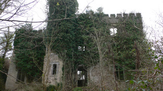 Duarrigle Castlecountry house · 477 yd
 LisabramFairy fort / earthen ringfort · 1218 yd
 Fulacht FiadhFulacht fia · 1732 yd
 Dromsicane Castle (in Ruins)Bawn · 1.7 mi
 Castle and TurretCastle, tower house · 2.6 mi
 Millstreet Museum & Tourist Information CentreMuseum · 2.8 mi
 Claragh Loop (Trailhead 99)Visitor information · 2.8 mi
 Millstreet Tourist InformationVisitor information · 2.9 mi
 Claragh MountainMountain / peak · 3.2 mi
 RowanRowan · 3.6 mi
 CurracahillMountain / peak · 4.5 mi