What is recorded here
Fairy fort in Coolgarriv, County Kerry: a 64m earthen ring on a SE-facing slope, banked and scarped like a threshold rather than a trophy. Machinery has bitten through the perimeter and farm tracks circle it, yet the flat interior still slopes gently downward as if inviting entry. Perhaps people once kept livestock inside, or excluded them, or simply marked the edge of a field with a shape old enough to become sacred.
In pasture, on a SE-facing slope. A roughly circular area (64m N-S; c. 57m E-W) defined by an earthen bank (Wth 4.3m; int. H 0.3m; ext. H 1.6m) NE-E and a scarp (H 2.1m) E-NE. A possible entrance is at S. The relatively flat interior slopes down to the SE. The perimeter is covered in overgrowth and breached by machinery in places. A trackway for farm machinery skirts the perimeter externally. Another rath (KE066-038----) is c. 70m to the NW.
Compiled by: Elizabeth Byrne, Ursula Egan and Sheila Ronan, Archaeological Survey Unit, University College, Cork.
Date of upload: 31 January 2011
The monument record does not grant public access. Check the route and ask the landowner before entering private land.
- What survives
- Recorded monument
Places near here
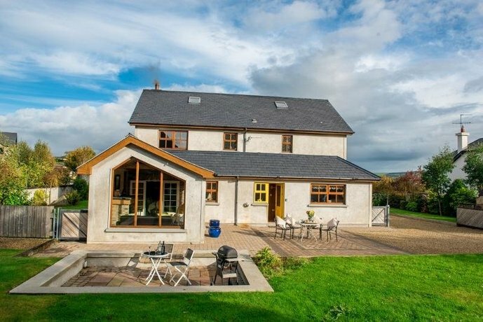 Coolgarriv HouseCountry house · 532 yd
 RoadRoad, road/trackway · 578 yd
 Fulacht FianFulacht fia · 821 yd
 Fulachta fianBurnt spread · 921 yd
 Famine MemorialMemorial · 1357 yd
 GinkgoGinkgo · 1739 yd
 Kerry 2nd Brigade of the Irish Republican ArmyMemorial · 1.1 mi
 Giant SequoiaGiant Sequoia · 1.2 mi
 Circular WalkWalking route · 1.3 mi
 Jaunting ToursHeritage attraction · 1.4 mi
 Aghadoe Early Medieval Ecclesiastical SiteHeritage attraction · 1.6 mi
 Parkavonear CastleCastle · 1.7 mi