What is recorded here
Cloonmore contains a D-shaped earthen ringfort where a straight field boundary cuts through what may have been a complete circle. The remaining curve holds a low bank and shallow ditch in level pasture, while a drain now runs along the eastern edge. Humans shaped that land before the boundary straightened it, but the missing arc has vanished from sight.
In level pasture. D-shaped area (dim. 16.5m E-W) with straight E side (L c. 33m). Interior defined by low earthen bank (H 0.3m) S->N with shallow external fosse (D 0.1m); E side formed by field boundary. No visible surface evidence for arc extending to E of field boundary to form complete circle. Drain dug along E side of field boundary.
The above description is derived from the published 'Archaeological Inventory of County Cork. Volume 4: North Cork' (Dublin: Stationery Office, 2000). In certain instances the entries have been revised and updated in the light of recent research.
Date of upload/revision: 14 January 2009
The monument record does not grant public access. Check the route and ask the landowner before entering private land.
- What survives
- Recorded monument
Places near here
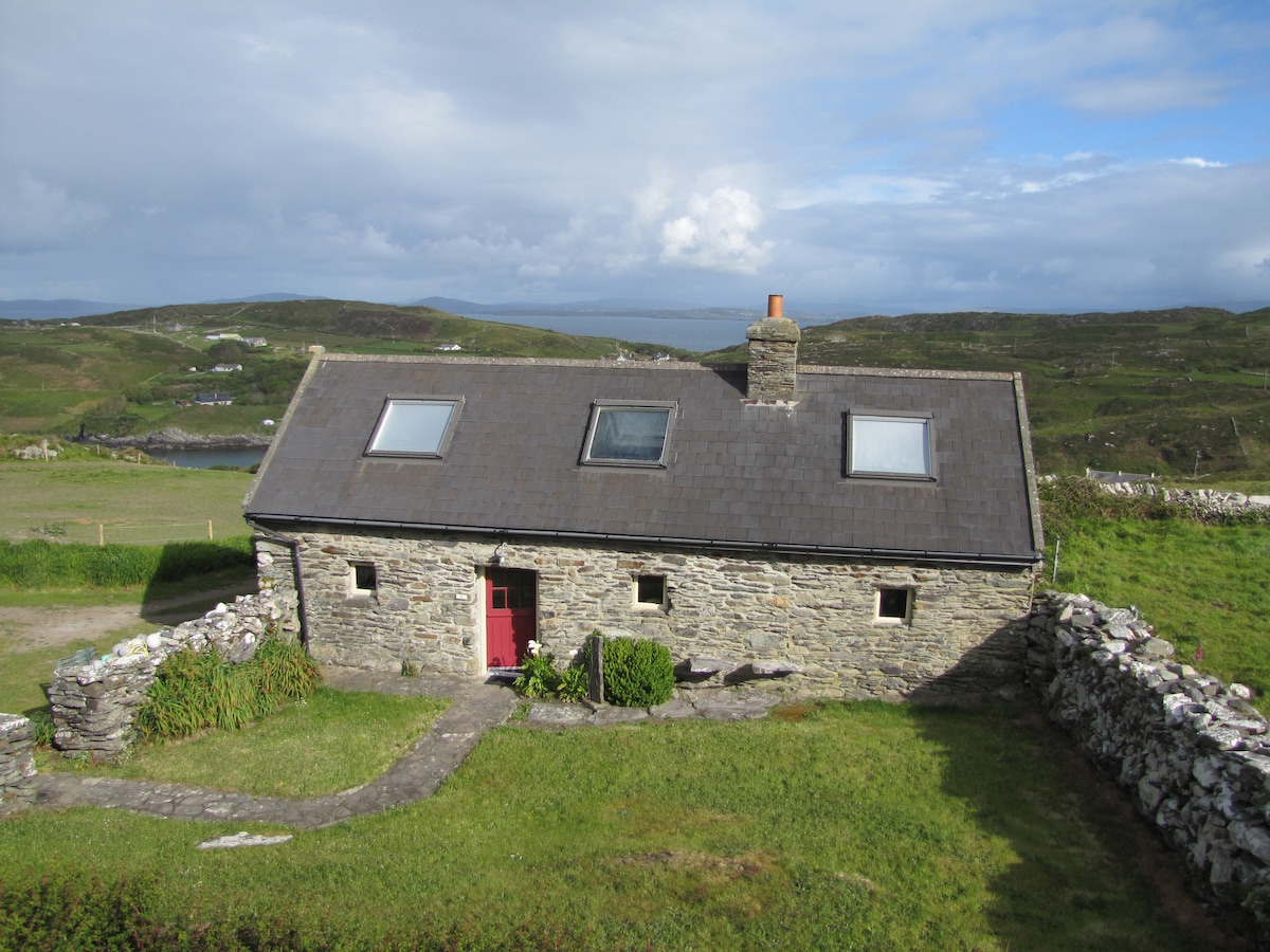 Enclosure in CoolasmuttaneEnclosure · 623 yd
 IndicatedMoated site · 659 yd
 Gortskagh Housegate lodge · 1757 yd
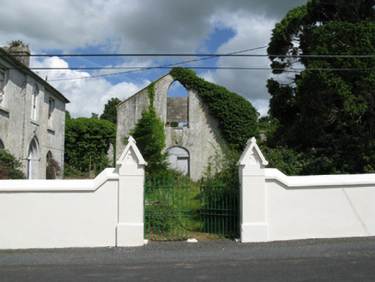 Colmanswell Catholic Churchchurch/chapel · 1.0 mi
 TumulusCastle, motte · 1.2 mi
 Bawn in CregganeBawn · 2.3 mi
 Holy Cross CemeteryGraveyard · 2.6 mi
 Saint Derivla's WellSpring · 3.9 mi
 ToberSpring · 4.8 mi
 CarrigeenMountain / peak · 6.4 mi
 National Co-op MuseumMuseum · 7.5 mi
 Battle of LiscarrollMajor battlefield · 7.8 mi