What is recorded here
Clooncunnig holds a broken fairy fort where a road cut through ancient pasture. Its earthen bank still rises one and a half metres along part of the circle, marking a place people shaped before modern wheels rolled past. The missing side does not feel like loss so much as invitation to imagine what lived there when the field belonged to nobody visible at all.
In pasture, on S-facing slope. Circular area (27m N-S) enclosed by earthen bank W->NE, SSE->SW (H 1.6m); scarp SW->W. Interior truncated on E side by roadway running N-S; raised on S side to compensate for hillslope.
The above description is derived from the published 'Archaeological Inventory of County Cork. Volume 1: West Cork' (Dublin: Stationery Office, 1992). In certain instances the entries have been revised and updated in the light of recent research.
Date of upload/revision: 14 January 2009
The monument record does not grant public access. Check the route and ask the landowner before entering private land.
- What survives
- Recorded monument
Places near here
 Man-made underground passage in ClooncunnigMan-made underground passage · 425 yd
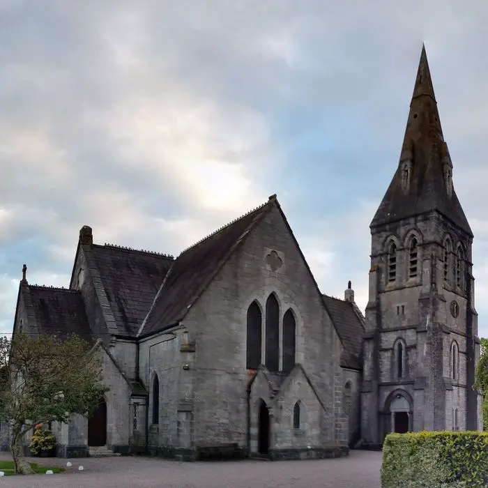 Church in ClooncunnigChurch · 469 yd
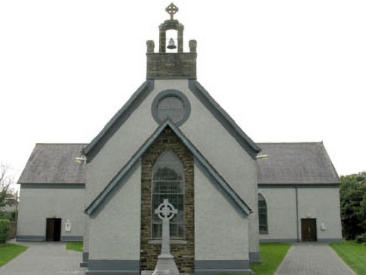 St James' Roman Catholic Churchchurch/chapel · 615 yd
 Man-made underground passage in Caher (ibane and Barryroe By.)Man-made underground passage · 858 yd
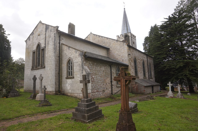 St. James WellSpring · 1543 yd
 CastleCastle, unclassified · 1.0 mi
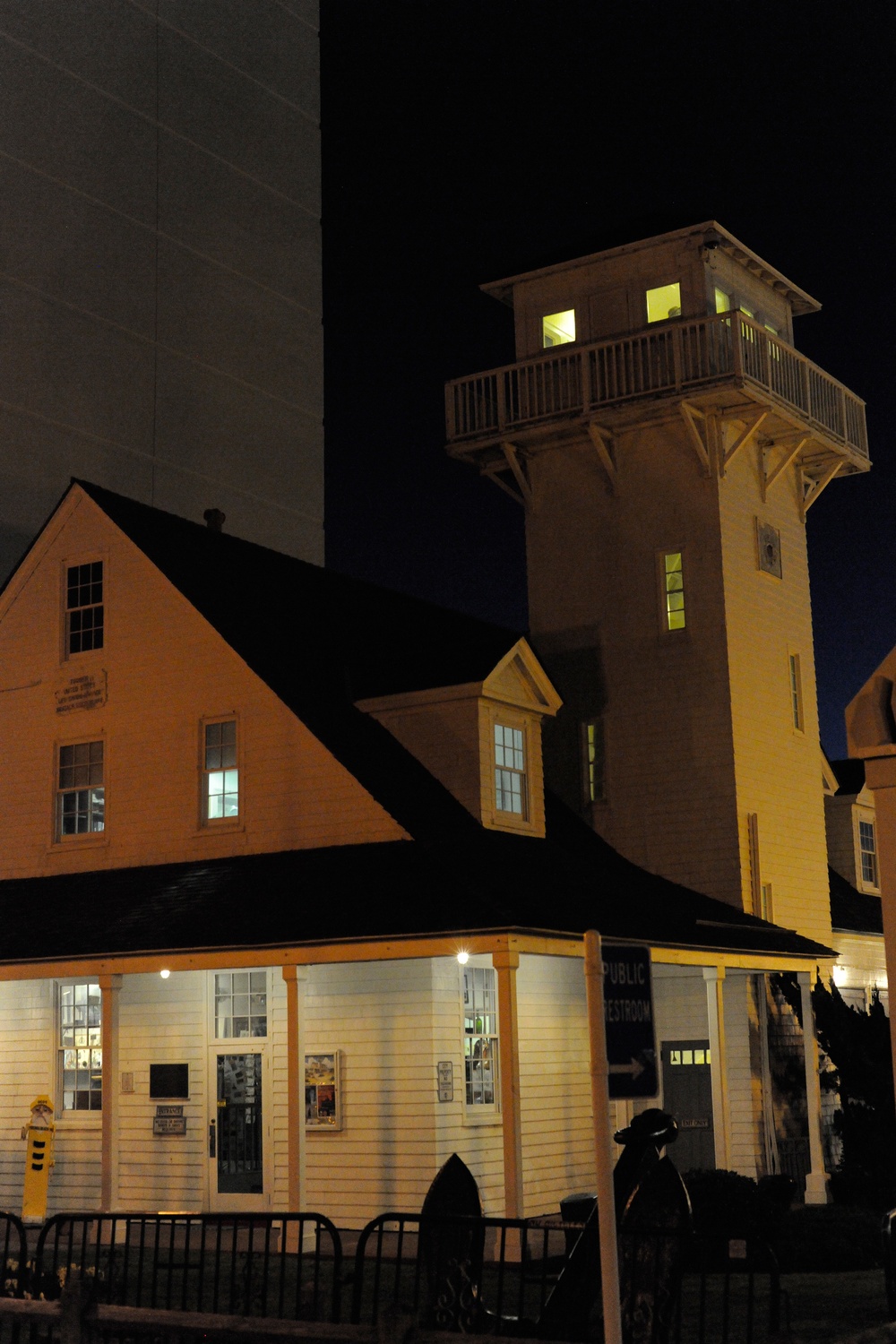 Old Coast Guard StationRuins · 1.1 mi
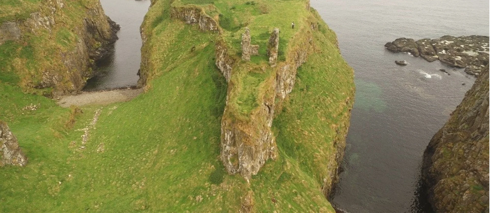 Dunnycove Castle (in Ruins)Castle, tower house · 1.5 mi
 Inchydoney BeachBeach / strand · 2.1 mi
 Red StrandBeach / strand · 2.2 mi
 Cottage MuseumMuseum · 2.3 mi
 Castle Freke WoodsForest · 2.9 mi