What is recorded here
Fairy forts are not fairy forts. They are human rings, built and lived in long before fairy words were invented to hide what people forgot. Clooncon is no longer a fort in the way it began. It is a flat circle in pasture, marked only by a shallow scarped edge and a thin outside ditch. A field drain now cuts across the old ditch line, carrying rain and time away from the place. What remains is not small. It is a boundary the land still remembers, even when people stop drawing it on maps.
In level pasture. Monument, depicted as embanked circular enclosure (diam. c. 40m) on 1924 OS 6-inch map, has been levelled and incorporated into pasture field. However, it is still evident as roughly circular area (44m N-S; 38m E-W) defined by a scarped edge (H 0.1m; Wth 2m) with an external fosse (Wth 3.2m; D 0.05m). Recent field drain run along line of fosse NW->SS.
Compiled by: Denis Power
Date of upload: 26 August 2011
The monument record does not grant public access. Check the route and ask the landowner before entering private land.
- What survives
- Recorded monument
Places near here
 post boxpost box · 1099 yd
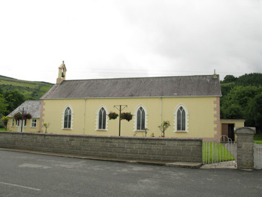 Saint Ita's Catholic Churchchurch/chapel · 1139 yd
 Mass-rock in GortnaclohyMass-rock · 1.0 mi
 IndicatedFairy fort / earthen ringfort · 1.1 mi
 Glenduff CastleCastle, tower house · 1.4 mi
 Ballagh MountainMountain / peak · 1.5 mi
 Saint Ite's WellSpring · 2.0 mi
 Dotted outlineBawn · 2.1 mi
 Mullaghareirk - Banane LoopWalking route · 3.1 mi
 Rock HillMountain / peak · 4.1 mi
 ToberhoranSpring · 5.2 mi
 Limerick GreenwayWalking route · 7.9 mi