What is recorded here
Half-hidden in scrub and half-cut by a public road, the Clomantagh Lower ringfort stands thirty metres across on the south edge of a broad terrace above the Nuenna river valley. Its low earthen bank, still a metre and a half high outside, encloses a flat platform large enough for a small dwelling, a byre, or a child running in circles until breathless. The road has taken the northern part and the trees have claimed the south, but the view remains: east, south and west across open water and land, the kind of place people chose when they wanted to see coming weather and be seen returning home.
On the S edge of broad gently sloping terrace between the steep upper and lower slopes of the N side of the Nuenna river valley, in reclaimed grass and arable. There are good views to the E, S and W and fair to the N. A roughly circular raised platform (max. dims. 30m N-S; 29m E-W) enclosed by low flat-topped earthen bank (overall Wth 4.5m; Wth at crest 1.25m; int. H 1m; ext. H 1.5m). There is a possible original entrance. A public road runs NE-SW through the northern portion of the monument. The monument S of the road is heavily overgrown with trees and scrub.
Compiled by: Jean Farrelly
Date of upload: 23 July 2019
The monument record does not grant public access. Check the route and ask the landowner before entering private land.
- What survives
- Recorded monument
Places near here
 Enclosure in Clomantagh LowerEnclosure · 313 yd
 Clomantagh Lower RingfortArchaeological place · 484 yd
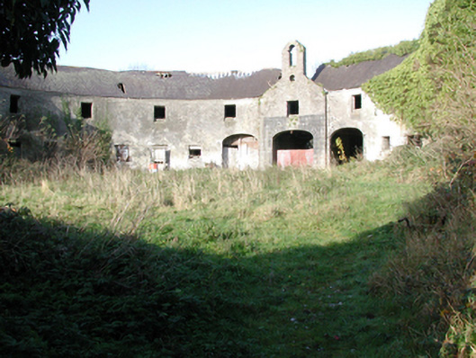 outbuildingoutbuilding · 505 yd
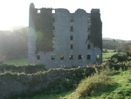 Clomantagh Millsmill (water) · 570 yd
 CastleCastle, tower house · 644 yd
 Killoshulan Castle (ruin)Castle · 1530 yd
 Clomantagh HillMountain / peak · 1.7 mi
 Kildrinagh WoodForest · 2.3 mi
 John HelyMemorial · 3.6 mi
 DelaneyMemorial · 3.7 mi
 Street fieldArchaeological place · 4.6 mi
 Anker's IslandIsland · 7.9 mi