What is recorded here
Situated on a very gentle SE-facing slope in rolling pastureland. The site was formerly in woodland, as depicted on the current OS 6-inch map, and is now in pasture. The much-denuded remains of a curving bank are visible at NW and SE.The site was inspected in 1955 and described as a circular area (diam. 36m E-W) enclosed by an 'earthen bank 6'[1.8m] high from ditch bottom at E side, where it is best preserved: 2'6"[0.84m] above inner ground level, with external ditch. At S a piece of the bank has been replaced by a dry-stone wall, adjoining the road. A low bank in the field to W appears to be nothing but bank round garden or cottage' (OPW files, 6.10.1955).
The above description is derived from 'The Archaeological Inventory of County Tipperary. Vol. 1 - North Tipperary' compiled by Jean Farrelly and Caimin O'Brien (Dublin: Stationery Office, 2002). In certain instances the entries have been revised and updated in the light of recent research.
Date of upload/revision: 22 September 2008
The monument record does not grant public access. Check the route and ask the landowner before entering private land.
- What survives
- Recorded monument
Places near here
 Castle OtwayCastle, tower house · 415 yd
 Site of Cloghonan CastleCastle, unclassified · 738 yd
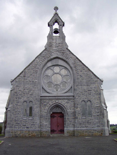 Catholic Church of the Immaculate Conceptionchurch/chapel · 1042 yd
 Church in CloghonanChurch · 1104 yd
 Enclosure in Shanballyard (aghnameadle Par.)Enclosure · 1120 yd
 Knockadigeen HillMountain / peak · 1361 yd
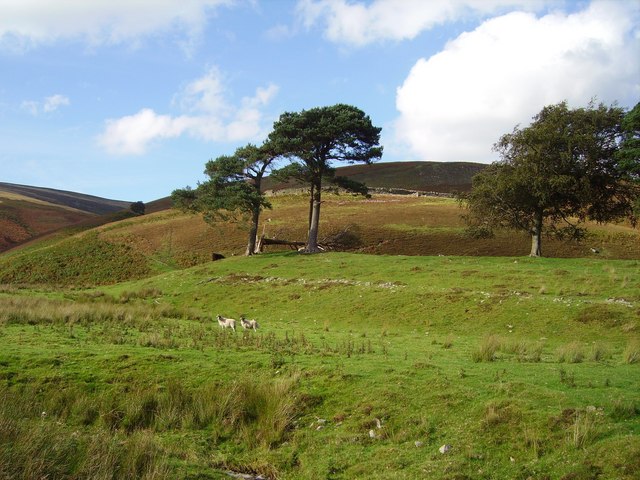 Hillfort in Cloghonan,knockadigeenHillfort · 1369 yd
 Ballincurra HillMountain / peak · 1.1 mi
 Killavalla WoodForest · 1.2 mi
 Sweet ChestnutSweet Chestnut · 5.4 mi
 Silvermines ViewpointViewpoint · 5.9 mi
 Our Lady Assumed into HeavenMemorial · 6.4 mi