What is recorded here
On a SSE-facing slope in low-lying pasture. A report in 1975 (SMR file) recorded a raised subcircular area (c. 50m NW-SE; c. 40m NE-SW) enclosed by traces of two low banks of earth and stone and two fosses. Traces of a possible third bank were identified from SW-W-NW. The original entrance was not recognisable. It has since been levelled and is not visible at ground level.
Compiled by: Patrick F. O'Donovan
Date of upload: 26 August 2011
The monument record does not grant public access. Check the route and ask the landowner before entering private land.
- What survives
- Recorded monument
Places near here
 Enclosure in LismoreEnclosure · 532 yd
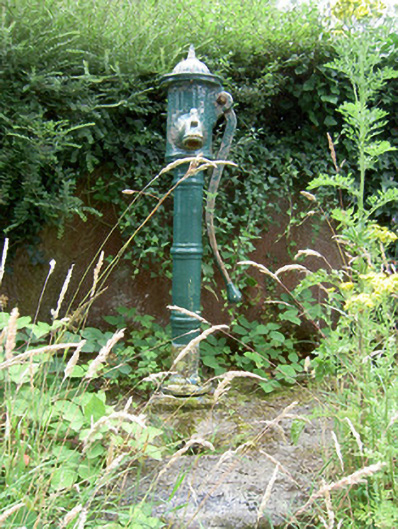 water pumpwater pump · 1084 yd
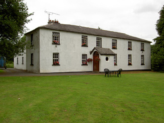 Lisnabo Schoolschool · 1146 yd
 Enclosure in MinardEnclosure · 1502 yd
 Bawn in AbbeycartronBawn · 1.5 mi
 First World War MemorialMemorial · 1.8 mi
 Saint Mel's CathedralCathedral · 1.8 mi
 Pedunculate OakPedunculate Oak · 1.8 mi
 Common LimeCommon Lime · 1.9 mi
 Graveyard in Curry (ardagh By., Coolamber Ed)Graveyard · 3.7 mi
 CastleCastle, Anglo-Norman masonry castle · 5.1 mi
 Commons North WalkVisitor information · 8.1 mi