What is recorded here
Indicated as a circular enclosure described as a 'Fort' on the 1835 ed. of the OS 6-inch map. It is situated on a rise on the floor of Glenfarne valley with an E-W section of the Owenmore River c. 50m to the S. This is a grass-covered circular platform (diam. c. 44m) defined by an indistinct scarp (H 0.2-0.4m). There is no visible fosse and the original entrance is not identified.
The above description is derived from 'The Archaeological Inventory of County Leitrim' compiled by Michael J. Moore (Dublin: Stationery Office, 2003). In certain instances the entries have been revised and updated in the light of recent research.
Date of upload: 23 September 2008
The monument record does not grant public access. Check the route and ask the landowner before entering private land.
- What survives
- Recorded monument
Places near here
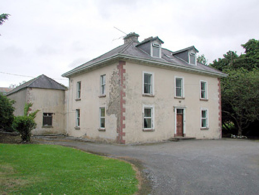 Brookfield Housefarm house · 301 yd
 CashelaveelaFairy fort / earthen ringfort · 960 yd
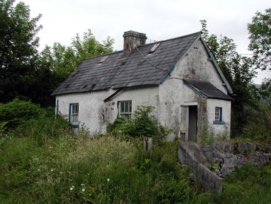 worker's houseworker's house · 1020 yd
 Not indicatdFairy fort / earthen ringfort · 1035 yd
 The Giants GraveArchaeological place · 2.2 mi
 Dough MountainMountain / peak · 2.3 mi
 Giants RockNamed rock · 2.7 mi
 Saddle HillMountain / peak · 2.9 mi
 Kilroosk RockNamed rock · 3.0 mi
 Ashisland WoodForest · 3.9 mi
 Longhill WoodForest · 4.2 mi
 Castle CarCastle · 4.9 mi