What is recorded here
That is the end of the available evidence for this exact place. Ask for one of its rooms, an event, a chamber or a named person and the camera will bring the whole machine instead of repeating the same answer.
In pasture, on steep S-facing hill slope. Roughly circular area (diam. c. 35m) enclosed by earthen bank (int. H 1.1m; ext. H 1.25m), best preserved W->NE, and externally stone-faced at N. Field boundary incorporates enclosing bank NW->NE. Interior, under rough pasture, slopes down to SE; N third is covered by dense overgrowth.
Compiled by: Denis Power
Date of upload: 26 August 2011
The monument record does not grant public access. Check the route and ask the landowner before entering private land.
- What survives
- Recorded monument
Places near here
 Castletown Garda Síochána Stationgarda station/constabulary barracks · 764 yd
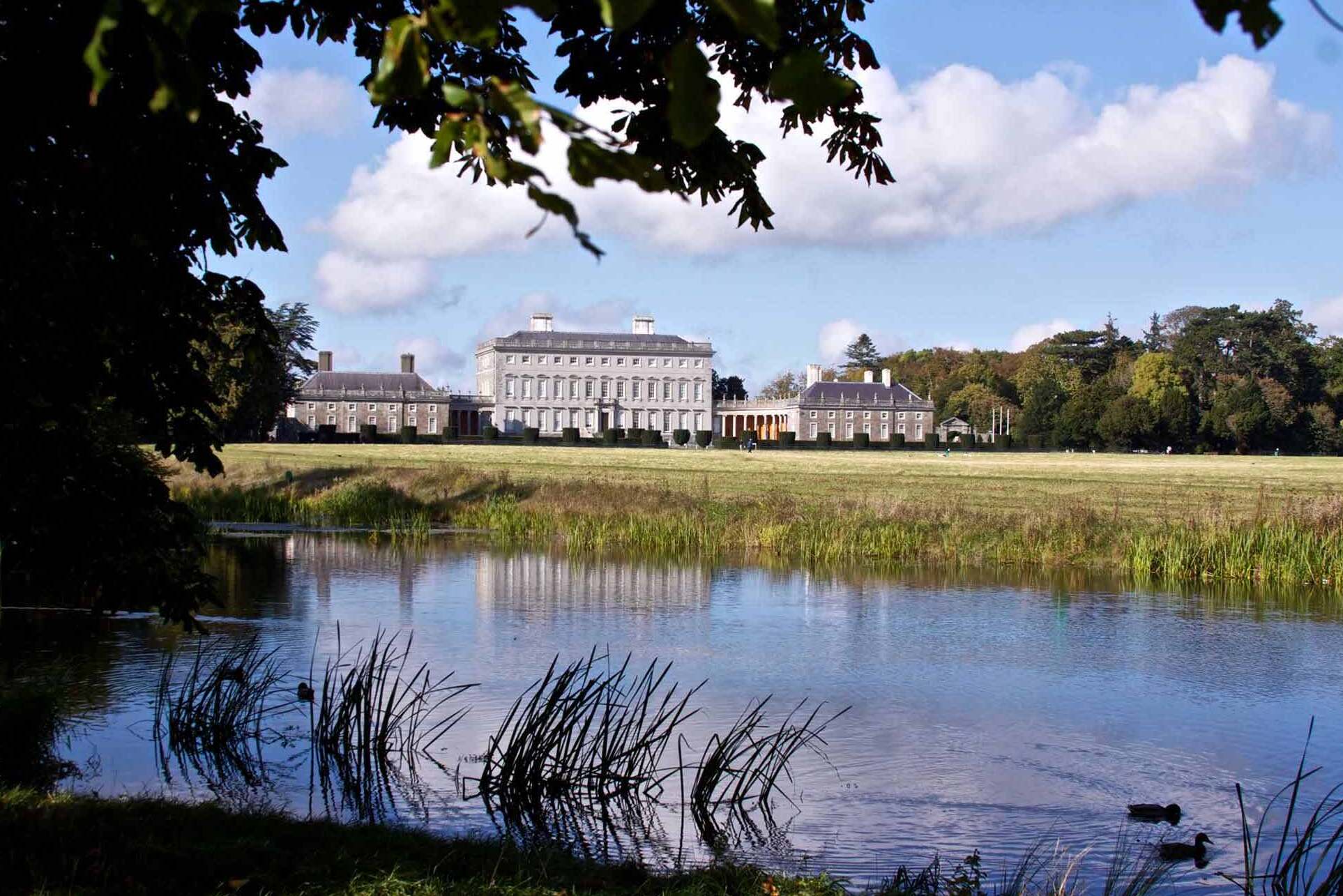 Enclosure in Castletown (connello Upper By.)Enclosure · 792 yd
 Church (in ruins)Church · 1205 yd
 IndicatedCastle, motte · 1543 yd
 Castle (in ruins)Castle, hall-house · 1559 yd
 Our Lady's WellSpring · 1578 yd
 Saint Derivla's WellSpring · 1.5 mi
 KnockfeerinaMountain / peak · 3.2 mi
 Famine stoneMemorial · 3.3 mi
 National Co-op MuseumMuseum · 7.4 mi
 European ashEuropean ash · 7.5 mi