What is recorded here
Fairy fort / earthen ringfort in Castleland is a fairy fort or earthen ringfort in Castleland, County Roscommon, Ireland. The structure has a 3.1-metre entrance at the west-northwest and a straight 20-metre southern side separated from another rath by a fosse. Archaeological testing 75 metres east produced no related material.
Marked only on the 1927 ed. of the OS 6-inch map, and situated on an undulating landscape. D-shaped grass-covered area (dims 34.2m E-W; 30.2m N-S) defined by a fosse (Wth of top 6.8-7.3m; Wth of base 1-3m; int. D 0.3m at S to 1.2m W-N; ext. D 0.2m at N to 0.6m S-W). The entrance (Wth 3.1m) is at WNW, and the straight side at S (L 20m) is separated from rath (RO022-112002-) by a fosse. Archaeological testing (06E0678) c. 75m to the E failed to produce any related archaeological material (Guinan 2009c).
Compiled by: Michael Moore
Date of upload: 24 August 2010
The monument record does not grant public access. Check the route and ask the landowner before entering private land.
- What survives
- Recorded monument
Places near here
 CastleCastle, unclassified · 874 yd
 Cruachan Aí Heritage CentreMuseum · 968 yd
 AbbeyReligious house, Dominican friars · 1033 yd
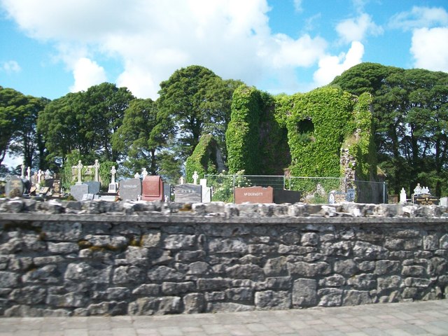 Grave YardGraveyard · 1095 yd
 Lisnacross FortFairy fort / earthen ringfort · 1449 yd
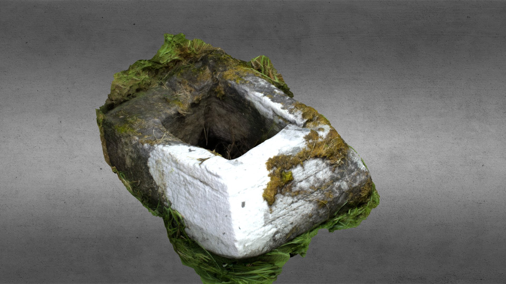 Church in OgullaChurch · 1.0 mi
 European ashEuropean ash · 1.1 mi
 ToberagullaSpring · 1.1 mi
 CastlerubyCastle, unclassified · 2.8 mi
 War of Independence Commemorative Military MemorialMemorial · 3.9 mi
 Sweet ChestnutSweet Chestnut · 6.3 mi
 Silver IslandIslet · 8.7 mi