What is recorded here
Fairy fort / earthen ringfort in Castlekevin: In level tillage, on top of a slight rise. The S-N arc formed by the cropmark of a fosse is visible on an aerial photograph (CASAP, SMR file). At ground level, an arc (C c. 20m) S-W is visible as a barely perceptible low rise. A levelled rath (CO025-095----) lies c. 90m to the SSE. The above description is derived from 'The Archaeological Inventory of County Cork. Volume
In level tillage, on top of a slight rise. The S-N arc formed by the cropmark of a fosse is visible on an aerial photograph (CASAP, SMR file). At ground level, an arc (C c. 20m) S-W is visible as a barely perceptible low rise. A levelled rath (CO025-095----) lies c. 90m to the SSE.
The above description is derived from 'The Archaeological Inventory of County Cork. Volume 5' (Dublin: Stationery Office, 2009).
Date of upload: 22 December 2009
A fairy fort or earthen ringfort in Castlekevin, likely dating to the early medieval period, is identified by a cropmark fosse visible on aerial photographs and a low, partial earthwork arc. Local tradition associates such sites with fairy folklore, often regarded as the dwellings of supernatural beings or places of ancient ritual significance.
The monument record does not grant public access. Check the route and ask the landowner before entering private land.
- What survives
- Recorded monument
Places near here
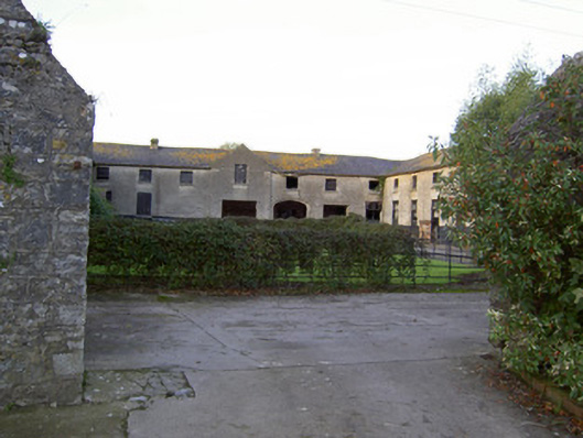 Castle Kevinfarmyard complex · 669 yd
 Doneraile Parkdemesne walls/gates/railings · 732 yd
 Enclosure in KilluraghEnclosure · 1391 yd
 Field system in KilluraghField system · 1450 yd
 Carrig Castle (in Ruins)Castle, tower house · 2.0 mi
 Monanimy CastleCastle, tower house · 2.3 mi
 Scots PineScots Pine · 2.5 mi
 Anne's Grove GardensHeritage attraction · 3.5 mi
 Horse Field WoodForest · 5.7 mi
 In loving memory of Elvis O'DonoghueMemorial · 5.7 mi
 Mallow River TrailVisitor information · 5.7 mi
 Blackwater (Avondhu) WayWalking route · 5.8 mi