What is recorded here
Fairy forts and ancient forts are often the same, which is to say people once lived there and left, and the gap between then and now is where the fairy part enters. In Carrownagarry the ring remains narrow and broken, two banks and a ditch marking a small circle in level grassland, with another fort not far to the west. That proximity suggests a settled area rather than a lonely mistake. The fairy name may be a later invention, but it is also a warning about memory: when human use disappears, the land keeps the shape and invents a tenant to fill it.
In level grassland. Poorly preserved subcircular rath (NW-SE 25m) defined by two banks and an intervening fosse. The inner bank is present from SW to W; elsewhere a scarp forms the enclosing element. The fosse and outer bank survive from SW through N to NE. A silage pit occupies NE quadrant of the interior. A ringfort (GA029-040----) lies c. 230m to WSW.
The above description is derived from the published 'Archaeological Inventory of County Galway Vol. II - North Galway'. Compiled by Olive Alcock, Kathy de hÓra and Paul Gosling (Dublin: Stationery Office, 1999).
Date of upload: 05 August 2010
The monument record does not grant public access. Check the route and ask the landowner before entering private land.
- What survives
- Recorded monument
Places near here
 Enclosure in GardenfieldEnclosure · 441 yd
 LismoreArchaeological place · 709 yd
 water pumpwater pump · 1136 yd
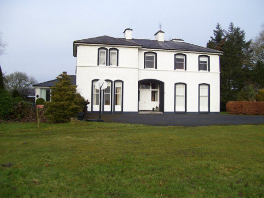 Gardenfield Househouse · 1184 yd
 European ashEuropean ash · 1.2 mi
 Fartamore Castle in ruinsCastle, tower house · 2.6 mi
 Fartamore Castle (ruins)Castle · 2.6 mi
 Mass RockNamed rock · 3.1 mi
 KnockmaaWood · 6.2 mi
 Kilcoona Round TowerHeritage attraction · 10 mi
 Ballinduff BayBay · 12 mi
 Cross in CarrownagarryCross · 869 yd