What is recorded here
Fairy fort / earthen ringfort in Carrigeen (mohill By.) stands on a drumlin slope in County Leitrim, Ireland. A circular grass area, thirty-six metres across, still shows an earthen bank and shallow outer ditch, though the entrance has vanished under growth. People may have lived, hidden or marked territory there before the land forgot the door.
Located towards the top of the W-facing slope of a drumlin. This is a grass-covered circular area (int. diam. 36m N-S; 36m E-W) defined by an overgrown earthen bank (at N: Wth of base 3.2m; int. H 0.2m; ext. H. 0.8m), with an external fosse (at NE: Wth of top 7.2m; Wth of base 2.7m; ext. D 0.5m at NE) N-SE. The original entrance is not identified.
The above description is derived from 'The Archaeological Inventory of County Leitrim' compiled by Michael J. Moore (Dublin: Stationery Office, 2003). In certain instances the entries have been revised and updated in the light of recent research.
Compiled by: Michael Moore
Date of upload: 23 September 2008
Amended: 6 December 2019
The monument record does not grant public access. Check the route and ask the landowner before entering private land.
- What survives
- Recorded monument
Places near here
 Enclosure in DrumhanyEnclosure · 618 yd
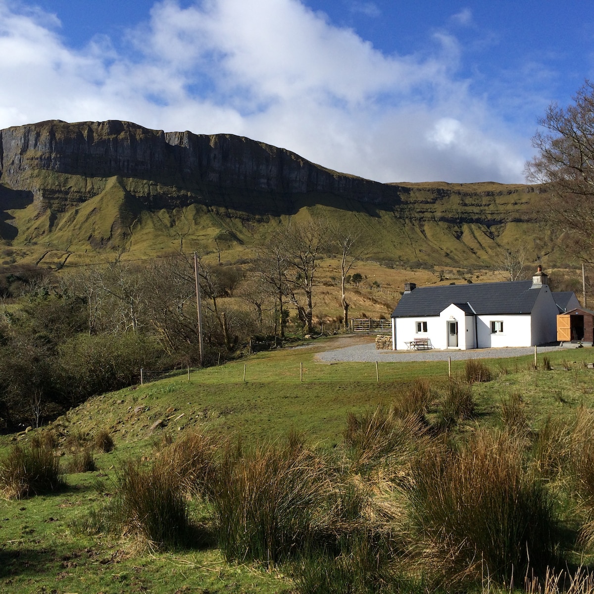 IndicatedFairy fort / earthen ringfort · 1367 yd
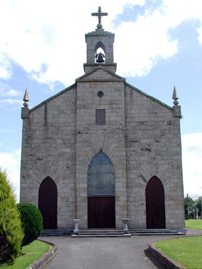 Catholic Church of the Immaculate Conceptionchurch/chapel · 1.8 mi
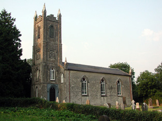 Saint Anne's Church (Annaduff)church/chapel · 2.1 mi
 Tom Dunphy MemorialMemorial · 2.2 mi
 Declaration of IndependenceMemorial · 2.9 mi
 Wildlife AreaNature reserve · 2.9 mi
 Turlough O'Carolan MonumentHeritage attraction · 2.9 mi
 Monkey-puzzleMonkey-puzzle · 4.2 mi
 CastleCastle, tower house · 4.2 mi
 Little IslandIslet · 4.3 mi
 Duck IslandIslet · 4.4 mi