What is recorded here
Fairy fort in Bunagarha, County Kerry: a 19 m earthen ring now halved by levelling, its wide bank still marking the southern curve beside the railway. The missing northern sector suggests human hands or ploughs redrew the edge, yet the surviving embankment still separates inside from outside.
Internal diameter 19m E-W
Situated immediately S of the Tralee-Limerick railway line, this univallate rath has been very much levelled. All that remains today is a semi-circular area enclosed by a wide earthen bank. The N to NE and N to NW sector has been completely levelled. The enclosing bank varies from 4m-8.8m wide at the base and rises to .5m high externally and .2m-3m internally. E to SE there would appear to be the remains of an outer bank running for 13m; it is 4m wide and .4m high. However, it is very difficult to determine exactly what this feature is.
The above description is derived from C. Toal, ‘North Kerry Archaeological Survey’. Dingle. Brandon in association with FAS Training and Employment Authority (1995), no. 420. In certain instances the entries have been revised and updated in the light of recent research.
Date of upload: 2 August 2013
The monument record does not grant public access. Check the route and ask the landowner before entering private land.
- What survives
- Recorded monument
Places near here
 CastleCastle, tower house · 1581 yd
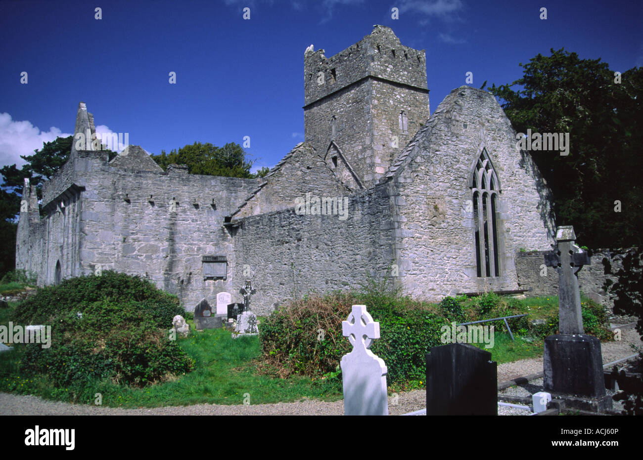 Enclosure in KilmeanyEnclosure · 1.0 mi
 Enclosure in BallaghadigueEnclosure · 1.5 mi
 John B. KeaneMemorial · 2.1 mi
 Holocaust MemorialMemorial · 2.1 mi
 Listowel Bridgebridge · 2.3 mi
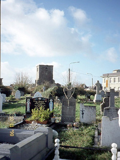 church/chapelchurch/chapel · 2.3 mi
 Kerry Writers' MuseumMuseum · 2.6 mi
 Listowel Castle (in ruins)Castle, tower house · 2.6 mi
 Lartigue MonorailMuseum · 2.8 mi
 Siege of Carrigafoyle Castlesiege · 9.2 mi
 KnockanoreMountain / peak · 9.5 mi