What is recorded here
In level pasture, abutting field boundary to S. Circular area (diam. 31m) defined by low earthen bank (Wth 7.3m; int. H 0.35m; ext. H 0.75m), reduced to scarp NW-N-NE. External fosse (basal Wth 1.5m; top Wth 7.2m; D 0.45m) visible, except where waterlogged NW-N-ESE. Interior has slight tilt downslope to NNE. Field boundary respects monument ESE-S-SW. Ringfort (TS069-014----) is c. 140m to ENE.
Compiled by: Jean Farrelly
Date of upload: 26 August 2011
The monument record does not grant public access. Check the route and ask the landowner before entering private land.
- What survives
- Recorded monument
Places near here
 CastleCastle, ringwork and bailey · 575 yd
 Enclosure in LowesgreenEnclosure · 672 yd
 Enclosure in RosegreenEnclosure · 913 yd
 Castle (Site of)Castle, unclassified · 1257 yd
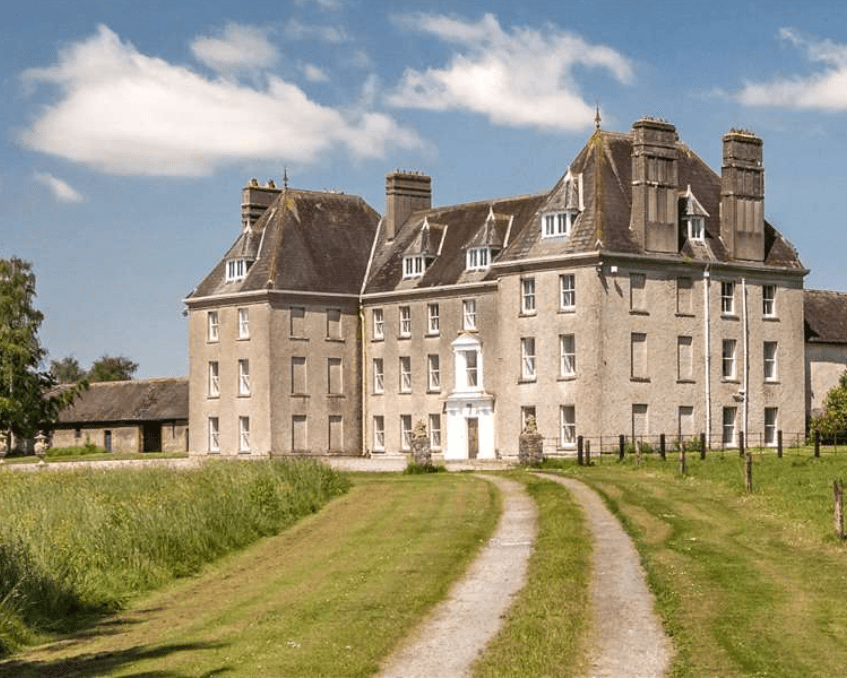
 Kilbragh Housestables · 1532 yd
 Kilbraghhouse · 1557 yd
 Cashel Folk MusuemMuseum · 3.9 mi
 Black mulberryBlack mulberry · 3.9 mi
 The Rock Of CashelVisitor information · 4.0 mi
 Cormac's ChapelHeritage attraction · 4.1 mi
 Ballyknock HillMountain / peak · 4.2 mi
 Siege of Cahir Castlesiege · 8.6 mi