What is recorded here
On a NNE-facing slope in pasture. A raised circular area (diam. 37.1m) enclosed by a very wide, low bank of earth and stone (Wth 8.15m; H 0.2-1.1m) with a wide, deep, external fosse (Wth 5.3m; D 0.9m). From N-NE-ENE, where it is bordered by a modern WNW-ESE field boundary, the outer face of the bank has been steepened and the fosse is largely infilled. A break (Wth 3.45m) in the bank at ESE with an accompanying causeway may mark the original entrance.
Compiled by: Patrick F. O'Donovan
Date of upload: 26 August 2011
The monument record does not grant public access. Check the route and ask the landowner before entering private land.
- What survives
- Recorded monument
Places near here
 Enclosure in Formoyle (newcomen)Enclosure · 437 yd
 Formoyle Ho. in ruinsHouse, 17th century · 524 yd
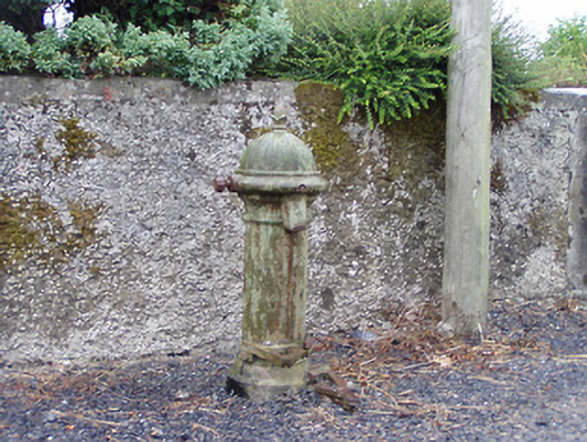 water pumpwater pump · 639 yd
 St. Martins WellHoly well · 1297 yd
 Goat's IslandIslet · 1.3 mi
 Little IslandIslet · 1.3 mi
 Rathcline CastleBawn · 1.8 mi
 White Sand WoodWood · 2.2 mi
 Wild birdsVisitor information · 2.8 mi
 Caltragh CastleCastle, unclassified · 2.9 mi
 Commons North WalkVisitor information · 3.1 mi
 Cruit BayBay · 3.3 mi