What is recorded here
In pasture, on gentle NW-facing slope. Circular area (49m N-S; 47.8m E-W) defined by scarped edge (H 0.8m; Wth 6m) NNE->SSW, and enclosed by dry-stone field wall (H 1.35m; Wth 1.55m) SSW->NNE. This wall is of similar construction to surrounding field boundaries. Scarp very indistinct SSE->SSW. Interior, under pasture, slopes down gently to NW following contour of surrounding terrain.
Compiled by: Denis Power
Date of upload: 26 August 2011
A fairy fort / earthen ringfort in Baurnalicka is a circular early-medieval defensive or domestic site, likely dating to between the 5th and 10th centuries AD. Local folklore associates such sites with the supernatural, often believed to be dwellings of the "good people" or fairies.
The monument record does not grant public access. Check the route and ask the landowner before entering private land.
- What survives
- Recorded monument
Places near here
 Ivy Househouse · 1130 yd
 Garraunboy CastleCastle · 1419 yd
 Church (in Ruins)Church · 1673 yd
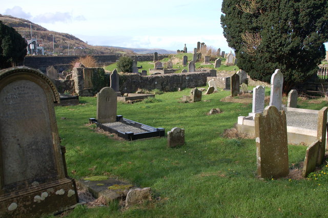 Grave YardGraveyard · 1682 yd
 OutlinedEnclosure · 1.0 mi
 Bawn in FinniterstownBawn · 1.3 mi
 Adare Tourist OfficeVisitor information · 1.5 mi
 GinkgoGinkgo · 1.7 mi
 European YewEuropean Yew · 1.7 mi
 Flat cemetery in Kiltenan SouthFlat cemetery · 1.8 mi
 Adare Desmond CastleMedieval castle · 2.0 mi
 Desmond CastleHeritage attraction · 2.0 mi