What is recorded here
Situated on level ground in a small field between two houses in overgrown pasture. Raised roughly circular area (dims. 32.5m E-W; 31.5m N-S) enclosed by a substantial bank of earth and stone (Wth 3.55-8.05m; int. H 1.2m). At the external foot of the bank is a fosse (Wth 4.9-5.5m) and a second bank (Wth 6.45-10.4m; int. H 1.3m). At the external foot of the second bank is a fosse (Wth 4.4m) and an external bank (Wth 5.95m; int. H 0.6m). The perimeter of the site is densely overgrown and inaccessible W-NNW. From SWSW the second bank thickens with the top extending to 8m in width compared to 3.8m elsewhere. From NNW-S the external bank is absent. A break (Wth 1.4m) in the internal bank at E, with a slight causeway across the fosse and a corresponding break in the second bank, marks the position of the original entrance.
Compiled by: Patrick F. O'Donovan
Date of upload: 21 April 2011
The monument record does not grant public access. Check the route and ask the landowner before entering private land.
- What survives
- Recorded monument
Places near here
 Enclosure in Hazelwood DemesneEnclosure · 389 yd
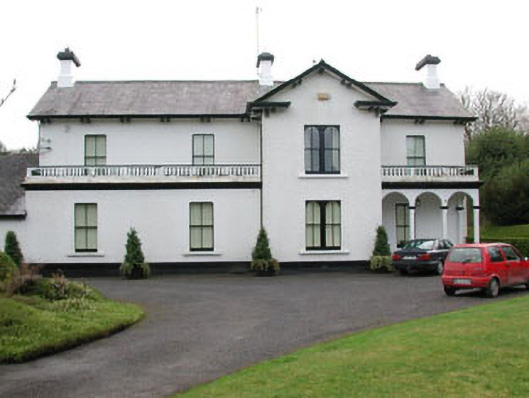 Ballyglass Househouse · 741 yd
 Enclosure in BellanodeEnclosure · 1038 yd
 European BeechEuropean Beech · 1499 yd
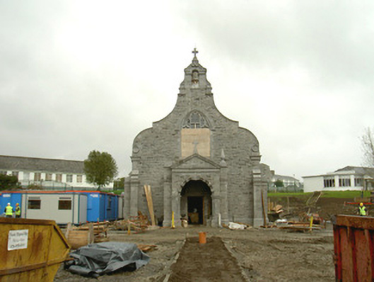 Saint Columba's Hospitalchurch/chapel · 1608 yd
 Sligo Masonic HallMemorial · 1.3 mi
 Model Niland GalleryHeritage attraction · 1.4 mi
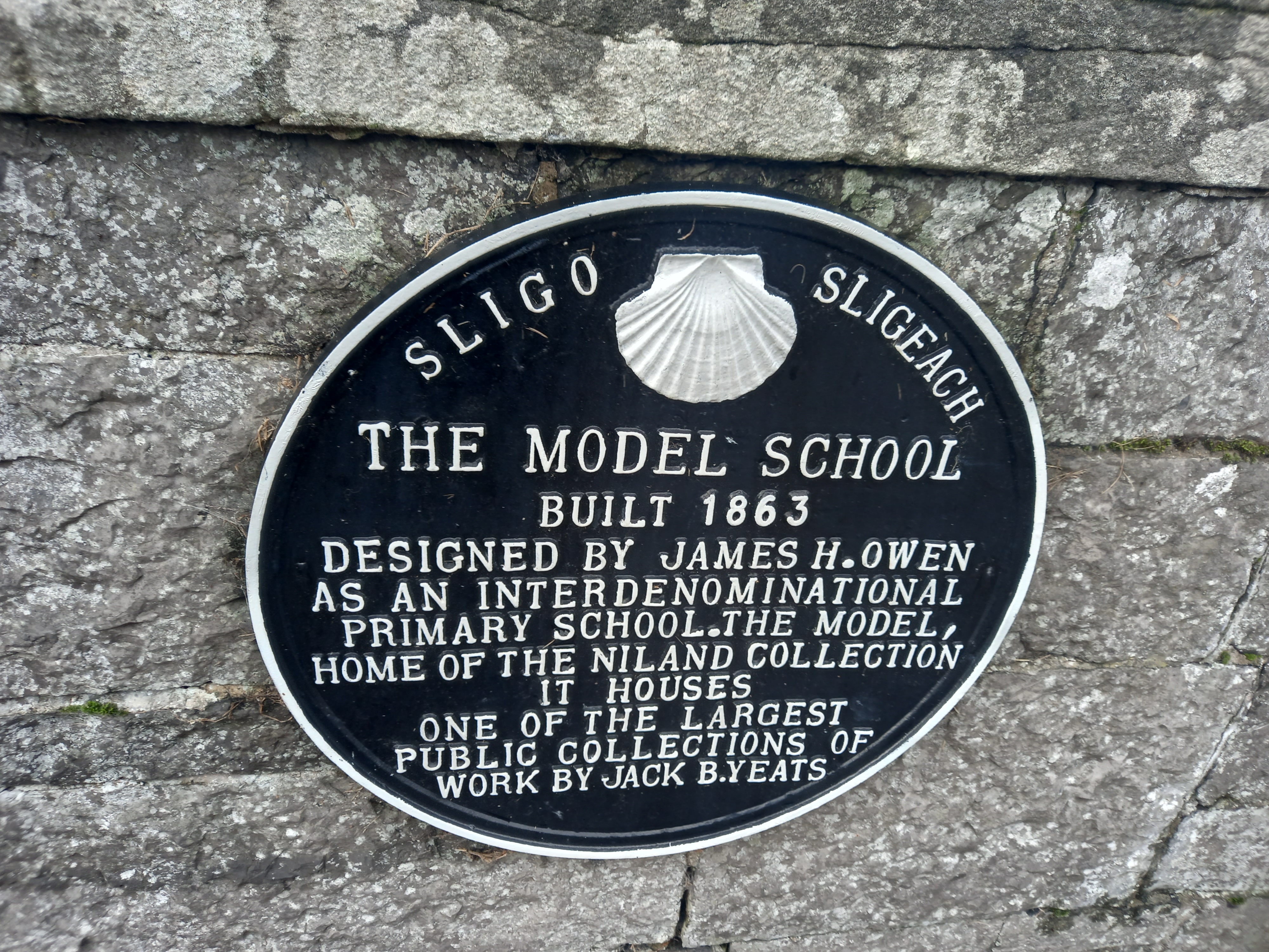 Model SchoolMemorial · 1.4 mi
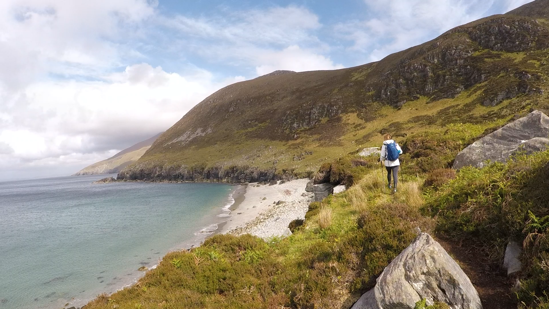 Annagh BayBay · 1.5 mi
 SligoVisitor information · 1.6 mi
 Annagh IslandIsland · 1.6 mi
 Discover IrelandVisitor information · 1.6 mi