What is recorded here
Mortons and the fairies both wanted the hill, so they split it. Humans lost the boundary and stopped fighting the place. They kept the fort intact because violence no longer had an owner. The fairies kept the shape because it resisted every claim of death. Bannus became a treaty written in grass, stone and patience.
Internal Diam c. 25m. A subcircular area enclosed by an earthen bank 1.25m high, a fosse up to 2m wide and an external bank 2m high. There is a possible entrance to the E. The site is very overgrown and is situated on the crest of a low hill overlooking Lough Erne to the S. It is surrounded by rough pasture.
The above description was derived from the 'Archaeological Survey of County Donegal. A description of the field antiquities of the County from the Mesolithic Period to the 17th century.' Compiled by: Brian Lacey with Eamon Cody, Claire Cotter, Judy Cuppage, Noel Dunne, Vincent Hurley, Celie O'Rahilly, Paul Walsh and Seán Ó Nualláin (Lifford: Donegal County Council, 1983). In certain instances the entries have been revised and updated.
Date of upload: 22 September 2008
The monument record does not grant public access. Check the route and ask the landowner before entering private land.
- What survives
- Recorded monument
Places near here
 Belalt Bridgebridge · 911 yd
 Castle McGrathCastle · 1626 yd
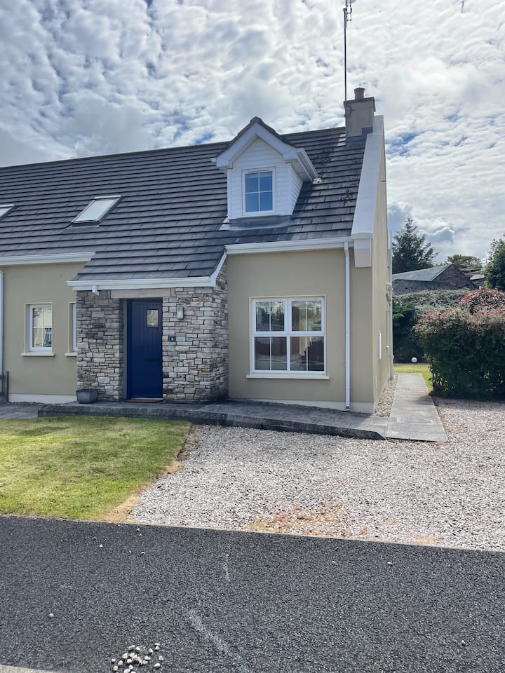 ENCLOSURE in PortnablahyENCLOSURE · 1.0 mi
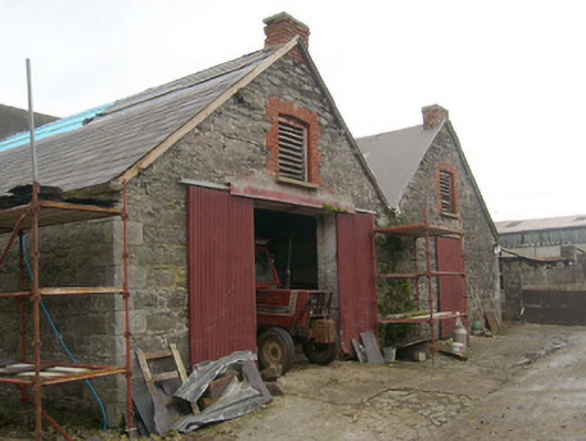 outbuildingoutbuilding · 1.2 mi
 Smiths RocksIsland · 1.3 mi
 Derrin MountainMountain / peak · 1.4 mi
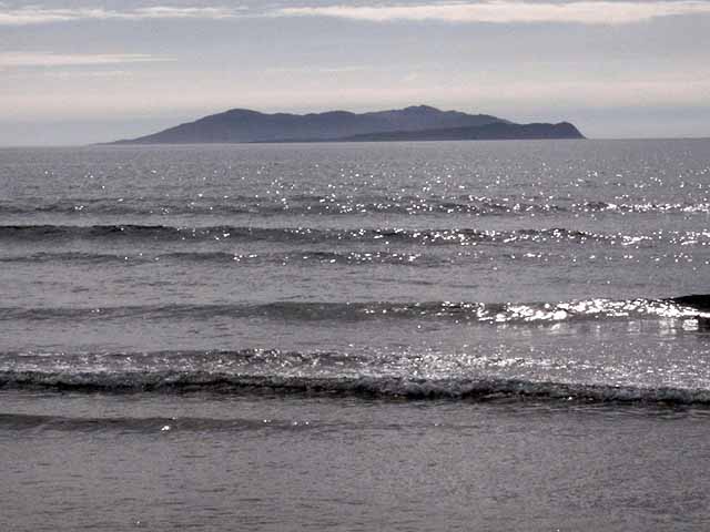 InishturkWood · 1.6 mi
 InishmeelyIsland · 1.6 mi
 Muckross WoodWood · 1.6 mi
 Boa IslandIsland · 2.0 mi
 STONE FIGURES IN CALDRAGH GRAVEYARD: BOA ISLAND in DreenanSTONE FIGURES IN CALDRAGH GRAVEYARD: BOA ISLAND · 2.3 mi
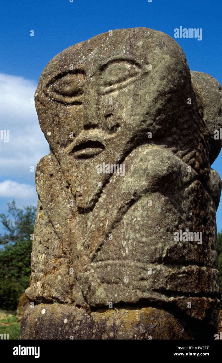 Boa Island FigureArchaeological place · 2.3 mi