What is recorded here
Reference to a rath here (Comerford 1886, vol. 3, 282). A circular area (diam. c. 50m) defined by a bank (Wth c. 1.9m, int. H c. 1.6m; ext. H c. 1.9m) from SW-NE. No evidence of fosse or original entrance. Nearby ringfort (LA014-010) visible to N.
The above description is derived from the published 'Archaeological Inventory of County Laois' (Dublin Stationery Office, 1995) compiled by P. David Sweetman, Olive Alcock and Bernie Moran. In certain instances the entries have been revised and updated in the light of recent research.
Date of upload: 17 December 2007
A fairy fort or earthen ringfort in Ballythomas is a circular early-medieval defensive or domestic site, likely dating to between the 5th and 10th centuries AD. Local folklore associates such mounds and enclosures with the faé or supernatural beings, reflecting their enduring presence in Irish tradition.
The monument record does not grant public access. Check the route and ask the landowner before entering private land.
- What survives
- Recorded monument
Places near here
 Enclosure in Killeen (stradbally By.)Enclosure · 908 yd
 Enclosure in Carrigeen (stradbally By., Kilmurry Ed)Enclosure · 1039 yd
 Church (in Ruins)Church · 1381 yd
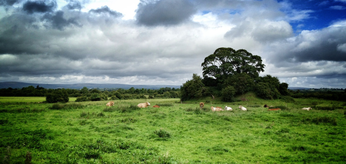 Bawn in Ballymaddock (stradbally By.)Bawn · 1492 yd
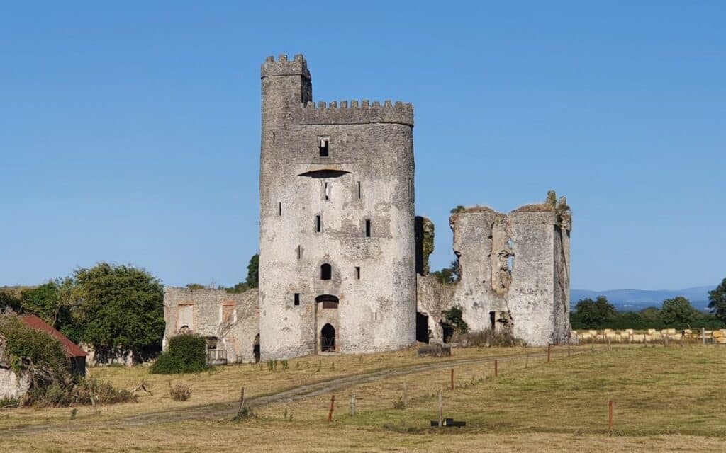 CastleCastle, unclassified · 1752 yd
 Kilteale Church (in Ruins)Church · 1.6 mi
 Rock of Dunamase InformationVisitor information · 2.2 mi
 Rock of DunamaseCastle · 2.2 mi
 Pedunculate OakPedunculate Oak · 2.4 mi
 European BeechEuropean Beech · 2.5 mi
 CEMETERYGraveyard · 3.0 mi
 Oughaval Wood MapVisitor information · 3.4 mi