What is recorded here
Fairy forts are often called rath, and Ballynaraha keeps that name in pasture on level ground sloping NNE. Its circular area measures about 30m N-S and 28m E-W, enclosed by a levelled bank now visible mainly through differential growth rather than a sharp ridge. An earlier OPW report from 06-07-67 described a heavily overgrown site with an earthen bank about 4ft high and an external fosse about 8ft wide, suggesting the earthworks once stood more clearly before grass and use softened them.
In pasture, on level ground which slopes down beyond site to NNE. Circular area (30m N-S; 28m E-W) enclosed by levelled bank visible as differential growth pattern. Earlier report (OPW, 06-07-67) recorded heavily overgrown circular area enclosed by earthen bank (H c. 4ft) with external fosse (Wth c. 8ft); enclosed in turn by 'a slight modern looking bank'.
The above description is derived from the published 'Archaeological Inventory of County Cork. Volume 4: North Cork' (Dublin: Stationery Office, 2000). In certain instances the entries have been revised and updated in the light of recent research.
Date of upload/revision: 14 January 2009
The monument record does not grant public access. Check the route and ask the landowner before entering private land.
- What survives
- Recorded monument
Places near here
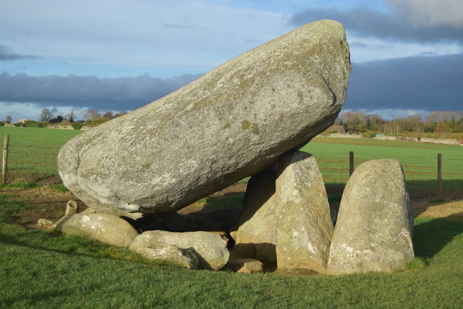 DolmenCist · 427 yd
 Burial in Moneen (fermoy By.)Burial · 1082 yd
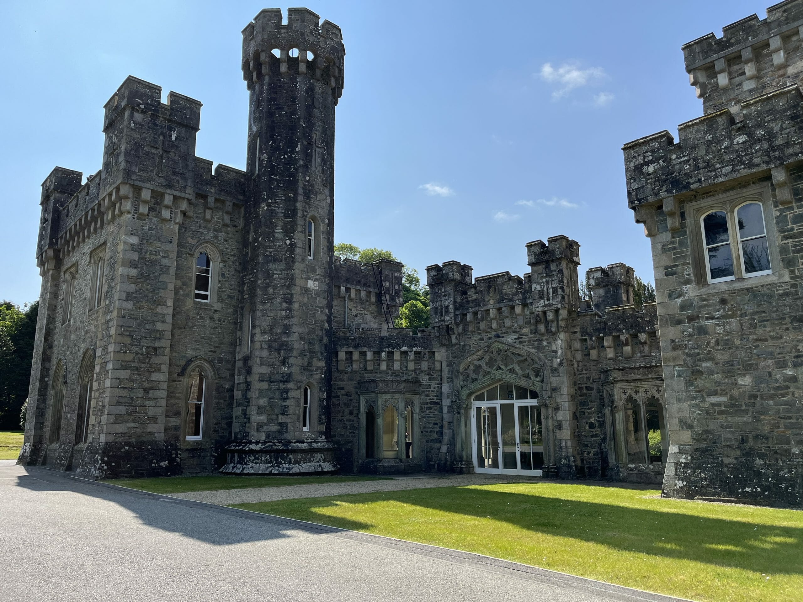 CastleCastle, unclassified · 1.2 mi
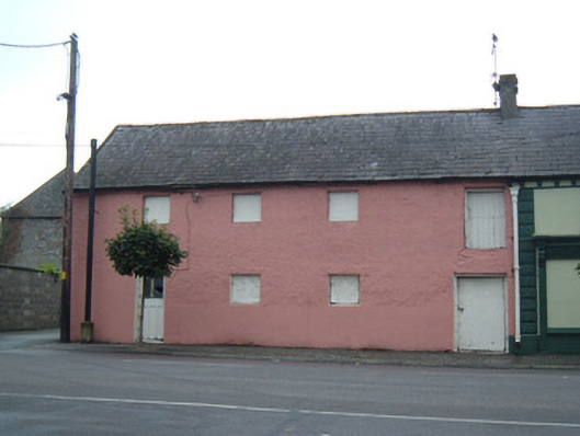 store/warehousestore/warehouse · 1.4 mi
 Templealour (in Ruins)Church · 1.4 mi
 Graveyard in BoherashGraveyard · 1.5 mi
 Glanworth CastleCastle · 1.5 mi
 St Dominick's WellSpring · 1.6 mi
 Blackwater (Avondhu) WayWalking route · 2.5 mi
 Johnson's WoodForest · 3.0 mi
 Priest's WoodForest · 3.1 mi
 Anne's Grove GardensHeritage attraction · 3.6 mi