What is recorded here
Located in the bottom of an enclosed valley (dims. c. 1 km NW-SE; c. 600m NE-SW) at its NW end. The cropmark of a circular enclosure (diam. c. 30m) defined by a single fosse-feature with a break at SW is visible on digital aerial photographs (WX034-076_1 to _4) taken in 2006.
WX034-076----_1.jpg from SE
Compiled by: Michael Moore
Date of upload: 13 September, 2012
The monument record does not grant public access. Check the route and ask the landowner before entering private land.
- What survives
- Recorded monument
Places near here
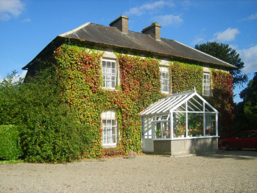 Hillview Housefarm house · 449 yd
 Abbey (site of)Ecclesiastical site · 742 yd
 Embanked enclosureFairy fort / earthen ringfort · 837 yd
 site of CastleCastle, unclassified · 1504 yd
 kilnkiln · 1552 yd
 SlievecoiltiaMountain / peak · 1.1 mi
 Castle (in ruins)Castle, tower house · 1.4 mi
 Devon whitebeamDevon whitebeam · 1.5 mi
 The Croppy GroveMemorial · 1.8 mi
 Garden of RemembranceMemorial · 1.8 mi
 Camlin HillMountain / peak · 2.0 mi
 Kelly's WoodForest · 2.2 mi