What is recorded here
National Monument No. 625. Situated on flat grassland 60m S of stream marking townland boundary with Killeen. Well preserved platform type ringfort consisting of a raised circular area (approx. diam. 35m N-S) enclosed by an earthen bank intersected at E by a field boundary/drain running N-S. Curving linear earthworks visible on Digital Globe aerial photograph in field 80m to SW and W may be related to the platform ringfort.
Compiled by: Caimin O'Brien
Date of upload: 28 May 2018
The monument record does not grant public access. Check the route and ask the landowner before entering private land.
- What survives
- Recorded monument
Places near here
 Ballylanders fortArchaeological place · 5 yd
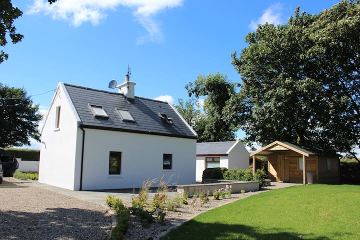 Enclosure in BallylandersEnclosure · 228 yd
 Ballylanders MillsWater mill, unclassified · 480 yd
 Church (in ruins)Church · 674 yd
 Site of Castle, Castle FieldCastle, unclassified · 1.3 mi
 Duntryleague - hachuredCastle, ringwork · 1.6 mi
 Darby's Bed Walk LoopWalking route · 2.2 mi
 Duntryleague HillMountain / peak · 2.2 mi
 SlievereaghMountain / peak · 2.2 mi
 Saint Patrick's WellSpring · 2.5 mi
 Edmund's WellSpring · 3.2 mi
 Ballinvreena LoopVisitor information · 3.6 mi