What is recorded here
Clear water and a wide horizon mark the Ballyhennessy ringfort, where a broad outer bank and inner ditch still trace a circular home in wet Kerry land. It is not a magical castle in the childish sense, though local names often turn ancient human ingenuity into fairy wonder. The measure is human: about twenty-eight metres across, built to be seen, defended, and remembered.
Internal diameter 25.6m N-S, 28.6m E-W
This bivallate rath is situated two fields NE of KE016-019----. It is in low-lying wet land, but the view is excellent in all directions. Though much levelled and fairly waterlogged, this site is still quite visible. It consists of a circular raised area c .3m high, though to the N a slight trace of an enclosing bank is visible. To the S to SE, the raised area has been completely levelled. The enclosing fosse is c 1m wide. The outer earthen bank is 4m wide and .2m high. The interior would appear to be slightly lower than the surrounding land.
The above description is derived from C. Toal, ‘North Kerry Archaeological Survey’. Dingle. Brandon in association with FAS Training and Employment Authority (1995), no. 607. In certain instances the entries have been revised and updated in the light of recent research.
Date of upload: 2 August 2013
The monument record does not grant public access. Check the route and ask the landowner before entering private land.
- What survives
- Recorded monument
Places near here
 Enclosure in Ballyhorgan SouthEnclosure · 625 yd
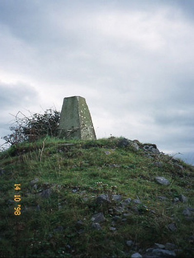 FitzMaurice Monumentmonument · 1632 yd
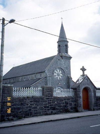 Saint Michael's Catholic Churchchurch/chapel · 1.3 mi
 Enclosure in Clogher (clanmaurice By., Lixnaw Ed)Enclosure · 1.3 mi
 CastleCastle, Anglo-Norman masonry castle · 1.8 mi
 Kilflynn Nature ReserveNature reserve · 4.3 mi
 Listowel Castle (in ruins)Castle, tower house · 5.0 mi
 Kerry Writers' MuseumMuseum · 5.0 mi
 Bryan MacMahonMemorial · 5.0 mi
 Lartigue MonorailMuseum · 5.1 mi
 John B. Keane GroveMemorial · 5.1 mi
 Stack's MountainMountain / peak · 5.9 mi