
What is recorded here
Black ringfort, 90 metres across, half-buried in South Ballyhorgan fields. The land swallowed its walls but left a shallow oval ridge, still warm beneath the grass. A drain cuts west, a bank holds north, and the forgotten shape waits for rain to reveal its edges.
Internal diameter 90m NW-SE, 63m E-W
Lisduff/Lios Dubh (black ringfort). This large oval enclosure lies S of KE016-021----. Today this site has been much levelled and all that remains is a suboval raised area which rises to .5m-1m above the surrounding land. A fieldbank runs immediately to the NNW and a drain runs immediately to the W to S.
The above description is derived from C. Toal, ‘North Kerry Archaeological Survey’. Dingle. Brandon in association with FAS Training and Employment Authority (1995), no. 610. In certain instances the entries have been revised and updated in the light of recent research.
Date of upload: 2 August 2013
The monument record does not grant public access. Check the route and ask the landowner before entering private land.
- What survives
- Recorded monument
Places near here
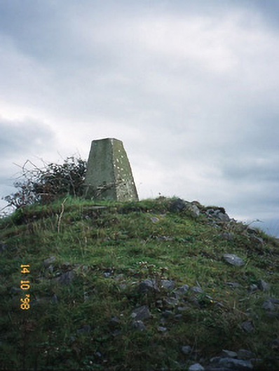 FitzMaurice Monumentmonument · 1.3 mi
 Enclosure in Clogher (clanmaurice By., Lixnaw Ed)Enclosure · 1.6 mi
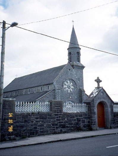 Saint Michael's Catholic Churchchurch/chapel · 1.6 mi
 Ecclesiastical enclosure in BallynagareEcclesiastical enclosure · 1.7 mi
 CastleCastle, Anglo-Norman masonry castle · 2.1 mi
 Kilflynn Nature ReserveNature reserve · 4.5 mi
 Listowel Castle (in ruins)Castle, tower house · 4.6 mi
 Kerry Writers' MuseumMuseum · 4.7 mi
 Bryan MacMahonMemorial · 4.7 mi
 Lartigue MonorailMuseum · 4.7 mi
 John B. Keane GroveMemorial · 4.8 mi
 Stack's MountainMountain / peak · 6.0 mi
Other information
Photo: Credit not shown in the picture search · Rights wording not checked; contact us if this picture should be removed