What is recorded here
Situated in a small natural hollow on gentle S-facing slope, and recently planted with conifers. Oval area (dims. 32m N-S; 29.7m E-W) defined by an earth and stone bank and a slight external fosse most clearly defined at the S. No indication of an entrance or internal features. Pieces of iron slag are visible in the bank material.
The above description is derived from the published 'Archaeological Inventory of County Wicklow' (Dublin: Stationery Office, 1997). In certain instances the entries have been revised and updated in the light of recent research.
Date of upload/revision: 17 December 2008
The monument record does not grant public access. Check the route and ask the landowner before entering private land.
- What survives
- Recorded monument
Places near here
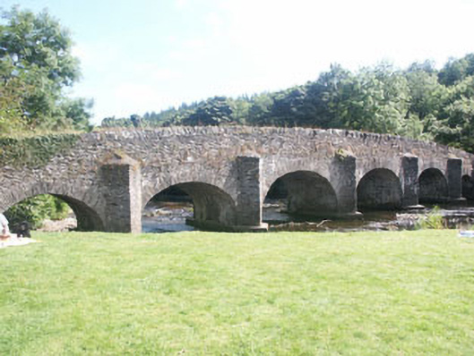 Clara Bridgebridge · 984 yd
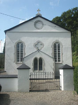 Catholic Church of Saint Patrick and Saint Killianchurch/chapel · 1034 yd
 Vale of Clara Nature ReserveNature reserve · 1.2 mi
 Ballygannon WoodForest · 1.3 mi
 Knockrath Castle (in ruins)Castle, tower house · 1.3 mi
 IndicatedFairy fort / earthen ringfort · 1.4 mi
 Workers GreenMemorial · 1.8 mi
 Castle in ruinsCastle, tower house · 1.8 mi
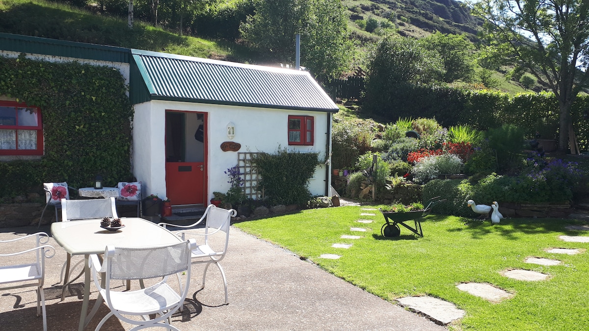 Enclosure in Glasnarget NorthEnclosure · 2.2 mi
 BallinastrawMountain / peak · 2.2 mi
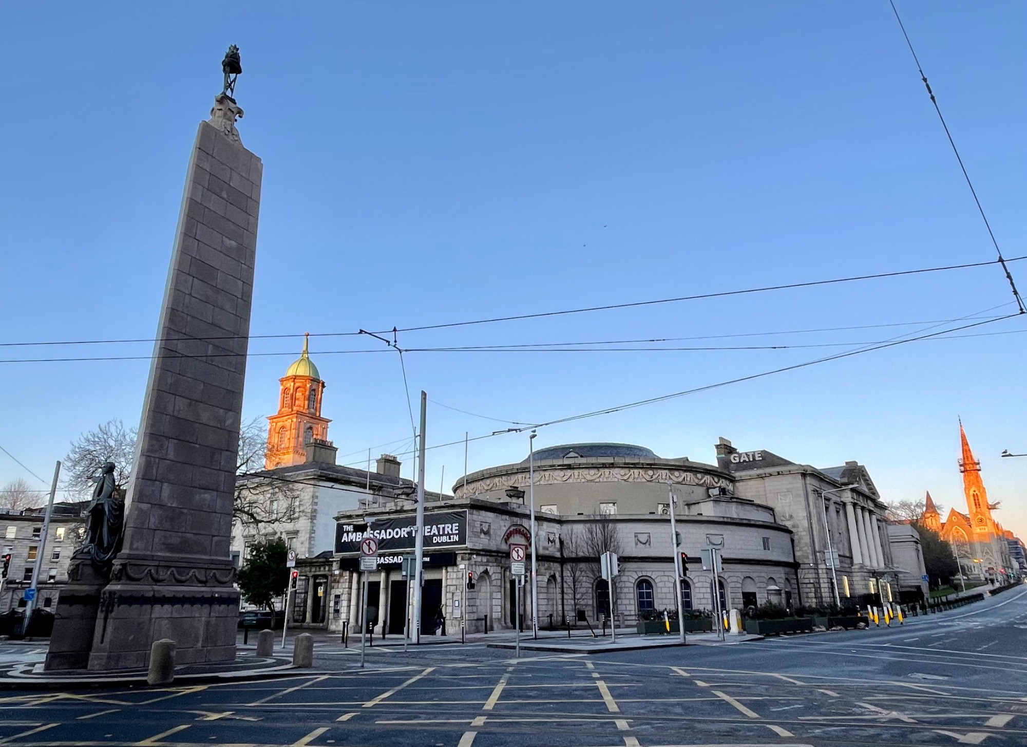 Parnell MonumentMemorial · 2.4 mi
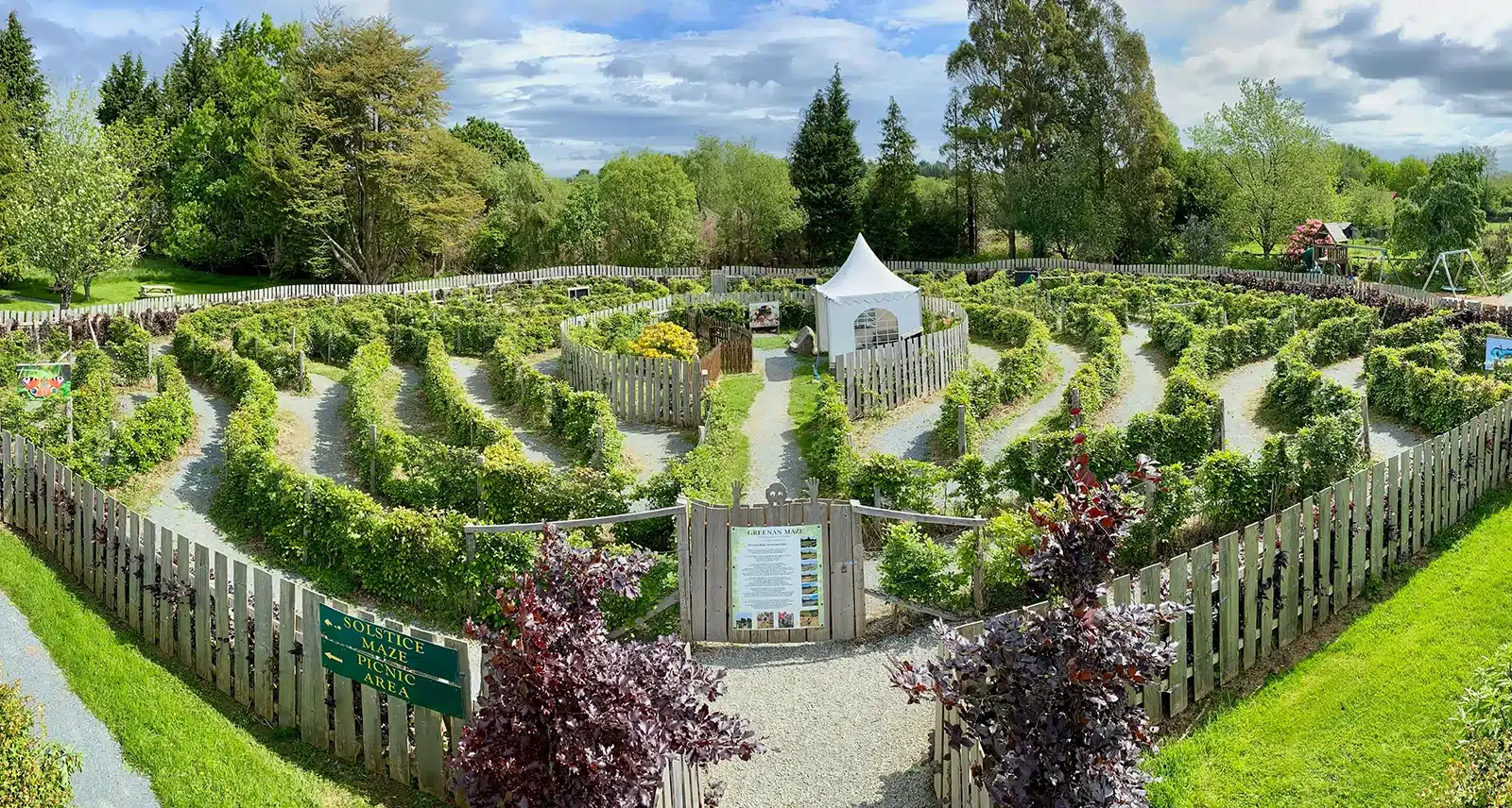 Greenan Farm Museum & MazeMuseum · 3.5 mi