What is recorded here
Fairy fort in Ballyfookeen, County Limerick: a broken earthen ring, 29.3m wide before a field drain cut through its north side. What remains is a low bank, a narrow fosse, and a two-metre gap at the southwest, all half-swallowed by grass and overgrowth. People may have lived there, marked their boundary, or simply avoided it after dark; the land kept the shape either way.
In undulating pasture, on slight E-facing slope. A field drain, on E-W axis, truncates formerly circular enclosure (diam. 29.3m E-W) on N side, leaving interior now 21.4m N-S. Enclosure defined by very slight scarped edge NE->SE and W->NE, and enclosed by earthen bank (int. H 0.8m; ext. H 1.1m) with external fosse (D 0.45m; Wth 1.8m) SE->W. Gap (Wth 2m) in bank at SW. Distance from field drain to bank at S: 21.4m. Enclosing bank covered by overgrowth but otherwise site is under pasture.
Compiled by: Denis Power
Date of upload: 26 August 2011
The monument record does not grant public access. Check the route and ask the landowner before entering private land.
- What survives
- Recorded monument
Places near here
 BarrowBarrow, ring-barrow · 684 yd
 Bruree Castle Lower (in ruins)Castle, Anglo-Norman masonry castle · 1098 yd
 Enclosure in Dromacummer WestEnclosure · 1175 yd
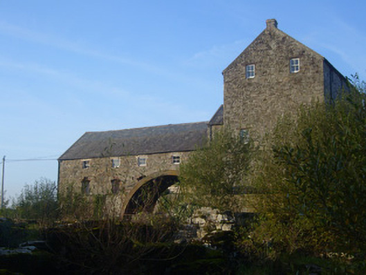 The Old Millmill (water) · 1.0 mi
 Eagle Mount MoteCastle, motte · 1.0 mi
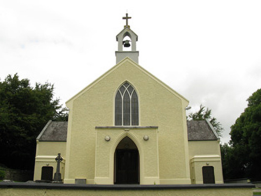 Saint Munchin's Catholic Churchchurch/chapel · 1.0 mi
 Saint Derivla's WellSpring · 4.7 mi
 King John's CastleCastle · 5.1 mi
 Lady's WellSpring · 5.5 mi
 KnockfeerinaMountain / peak · 5.9 mi
 Famine stoneMemorial · 6.5 mi
 Flat cemetery in Kiltenan SouthFlat cemetery · 8.9 mi