What is recorded here
Half a mile from the coast road, a shallow scar still marks the ring on the ridge above Ballycahalan. People called it a fairy fort, but fairies do not build defensive walls; more likely it was a human stronghold, its earth wall flattened by ploughs and rain until only a dim swerve remains in the grass. The stones inside may be field clearance rather than chamber work, yet the shape persists: a small circle on high ground, facing the valley, made for someone who wanted to be seen and hard to reach.
On a SW-facing slope of a ridge in undulating farmland, overlooking the Ballycahalan River. Poorly preserved subcircular rath (24.5m NE-SW; 19.2m NW-SE) defined by a degraded scarp. Some stones, possibly field-clearance rubble, are visible within the interior.
Compiled by: Galway Archaeological Survey, UCG
Date of upload: 13 October 2016
The monument record does not grant public access. Check the route and ask the landowner before entering private land.
- What survives
- Recorded monument
Places near here
 IndicatedFairy fort / earthen ringfort · 1025 yd
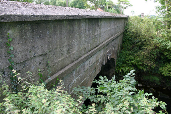 bridgebridge · 1293 yd
 CastleCastle, unclassified · 1356 yd
 Bawn in BallyconnellBawn · 1467 yd
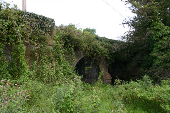 Cloon Bridgebridge · 1550 yd
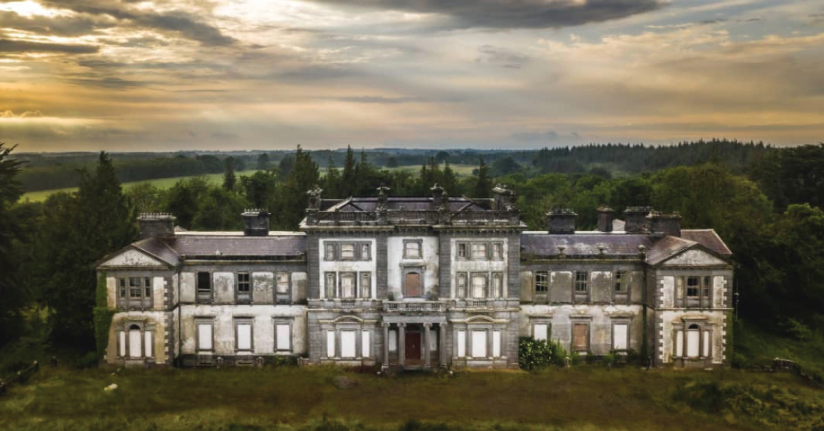 Enclosure in Doonally WestEnclosure · 1.2 mi
 European ashEuropean ash · 2.5 mi
 HawthornHawthorn · 2.5 mi
 Holly IslandIslet · 3.8 mi
 Castle IslandIsland · 3.9 mi
 KnockapollboyMountain / peak · 4.6 mi
 KnocknarebanaMountain / peak · 4.7 mi