What is recorded here
No visible gap on the northwest or northeast, but a break on the south where the land dips. That is an entrance, not a flaw. The fort is a complete circle with one opening, built to be entered and seen.
Near the summit on the NW-facing slope of a hill, in marginal marshy pasture with good views in all directions. Hachured on the 1897 OS 25-inch map and the 1916 OS 6-inch map. Listed as ‘Enclosure’ in the RMP (1996). A subcircular rath (28.25m N-S; 24m E-W crest-crest) defined by a bank (H 1-1.75; Wth 2-8m) with a possible outer fosse (Wth 4-5m) visible as a reed-filled depression from SW to NW. Outer stone facing is visible at W. A laneway immediately to the NW slightly truncates the perimeter. There is no definite original entrance but there is a cattle gap at SW and the bank has been largely levelled at SE.
The following image has been uploaded:
CL016-003----_01.jpg View of outer stone facing at W.
Compiled by: Mary Tunney and Lynda McCormack
Date of upload: 31 January 2022
A fairy fort / earthen ringfort in Ballybreen is a circular earthen enclosure typical of early-medieval Ireland, likely dating to between the 5th and 10th centuries. It is associated with local folklore regarding fairy activity, as suggested by its name, and may have been considered a sacred or supernatural site in traditional belief.
The monument record does not grant public access. Check the route and ask the landowner before entering private land.
- What survives
- Recorded monument
Places near here
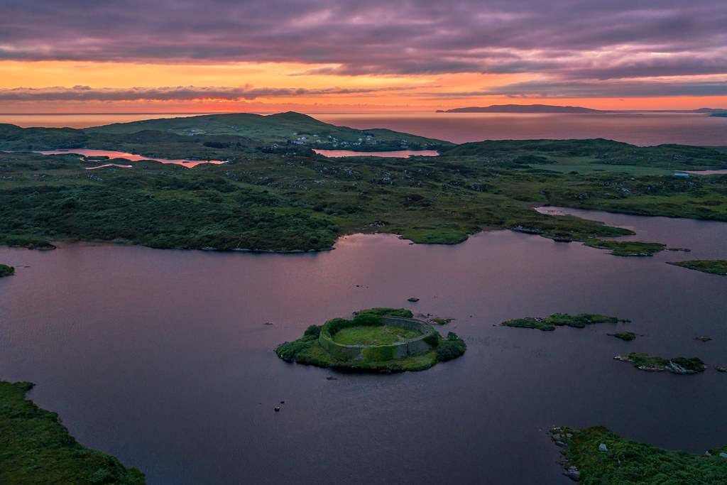 Doon FortHilltop enclosure · 557 yd
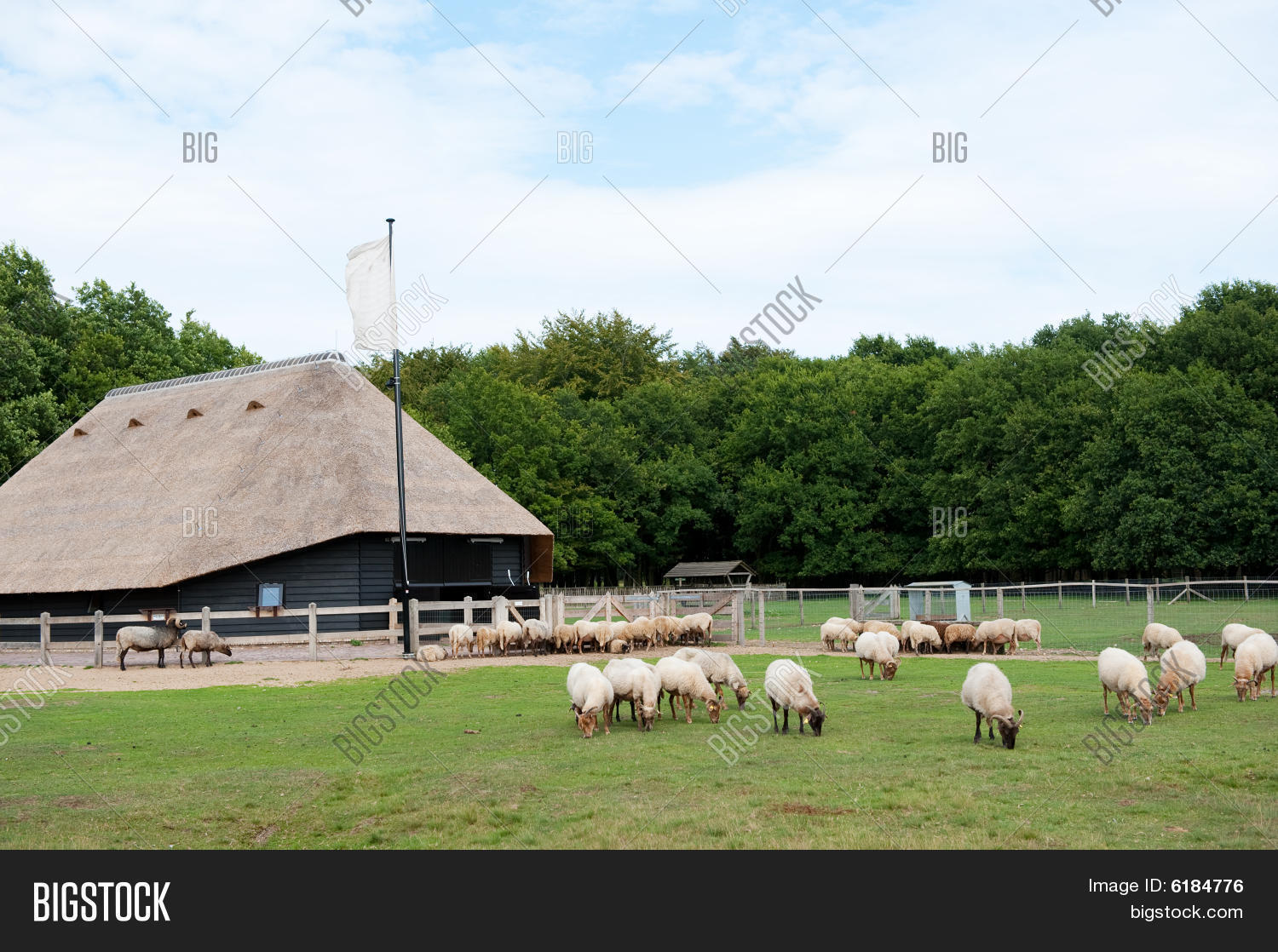 Sheep foldEnclosure · 1013 yd
 CashlaunawoggaCastle, tower house · 1459 yd
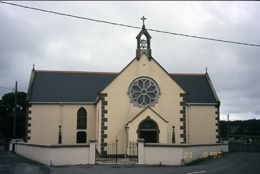 Saint Fachanan's Catholic Churchchurch/chapel · 1573 yd
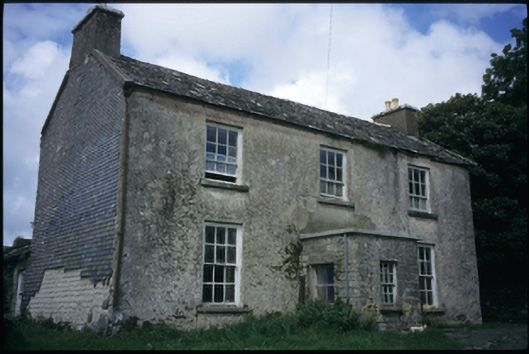 The Deaneryrectory/glebe/vicarage/curate's house · 1610 yd
 Burren Centre KilfenoraVisitor information · 1739 yd
 High CrossHeritage attraction · 1.0 mi
 Site of Fanta Cas.Castle, tower house · 1.3 mi
 Ballyteigue Nature ReserveNature reserve · 3.2 mi
 Kilmanahn GraveyardRuins · 4.3 mi
 Famine MemorialMemorial · 4.4 mi
 Cahermacnaghten CashelHeritage attraction · 4.7 mi